A Comfortable Thursday Before Storms Return
THURSDAY: A pretty nice day is on tap! We’ll start with a mix of sun and clouds but head towards plenty of sunshine and comfortable highs in the 70s. Lows will fall into the mid 50s at night under mostly clear skies.
FRIDAY: Warmer during the day as upper 80s return. A breezy south wind from 15-25 mph with gusts up to 30mph will also help to bring in moisture, making it feel muggy in the afternoon. A few showers and storms are possible during the afternoon and evening hours. It now appears the greatest chance of strong to severe storm activity will be JUST to our north in West Tennessee.
SATURDAY: Look for a warm and humid day with daytime highs around 90°. A stray shower or storm is possible.
SUNDAY: We continue to watch for the possibility of a big outbreak of severe weather here in the Deep South. All modes of severe weather will be possible in addition to heavy rainfall. Highs will be around 80°.
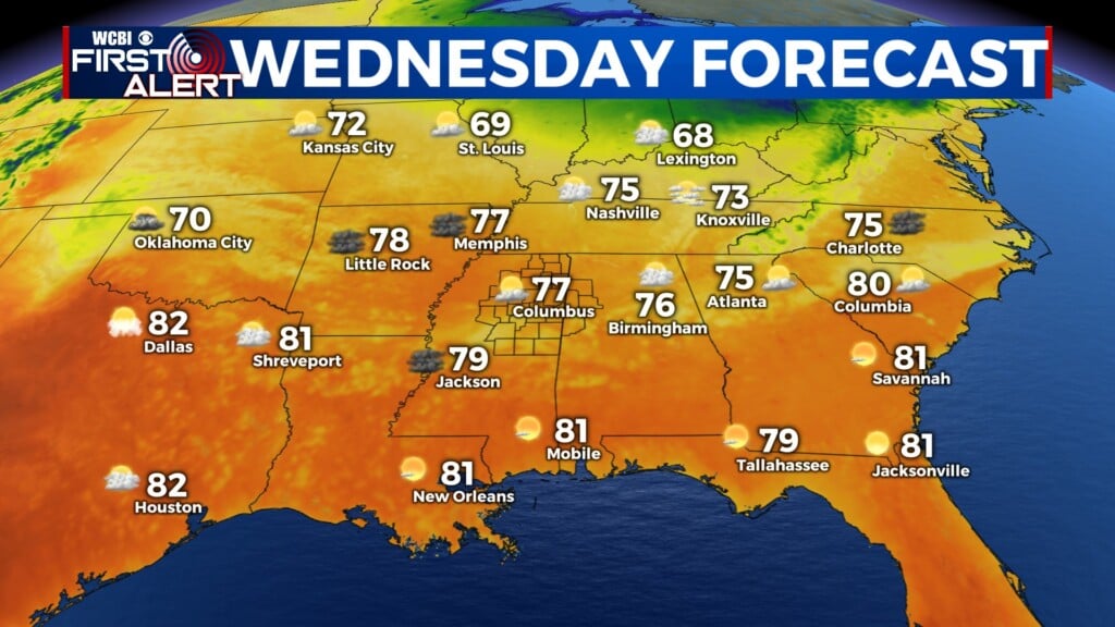
NEXT WEEK: Look for sunshine and cooler temperatures to start the week before another round of storms is expected on Wednesday.
Stay connected with @WCBIWEATHER on Facebook, Twitter, and Instagram


Leave a Reply