Hurricane Isaac

Forecast Path
At 11:20 AM CDT, Tropical Storm Isaac was officially upgraded to a Category 1 hurricane. Sustained winds went from 70 mph up to 75 mph. How does that change the forecast? Honestly, it really doesn’t. Maybe the name change will cause people to take this cyclone a bit more seriously, though.
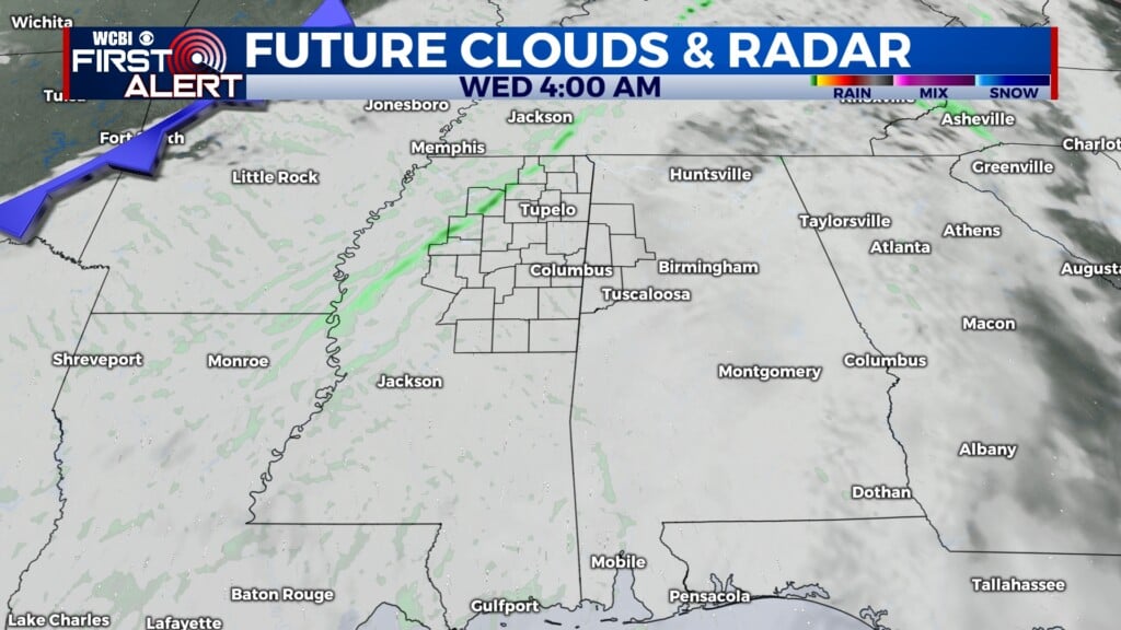
Scattered showers will be seen tonight and early Wednesday with the outer rain bands. Recent computer models have shifted Isaac’s track a little more to the west, and if that pans out, the threat for heavy rain in the WCBI viewing area will be lower.
The second half of Wednesday will see an increase in rain chances, and that will continue for the first half of Thursday. There is a chance of severe weather on Wednesday, and that does include a chance of tornadoes. We are not anticipating anything widespread, but a brief, spin-up tornado is definitely possible. These are NOT like the strong, long-lived tornadoes in the spring and fall and often go undetected on radar scans. However, they can knock down some limbs and power lines.
Our more western counties (toward I-55) and southern counties (south of Highway 82) have a higher chance of heavy rain, and it looks like the main risk from Isaac for us will be flooding. Some strong wind gusts will be possible, but tropical storm force winds should stay south and west of us.
The threat for heavy rain will end after Thursday, though some scattered showers are in the forecast for Friday.


Leave a Reply