Windy and Chilly Sunday before A Week Long Warm-Up
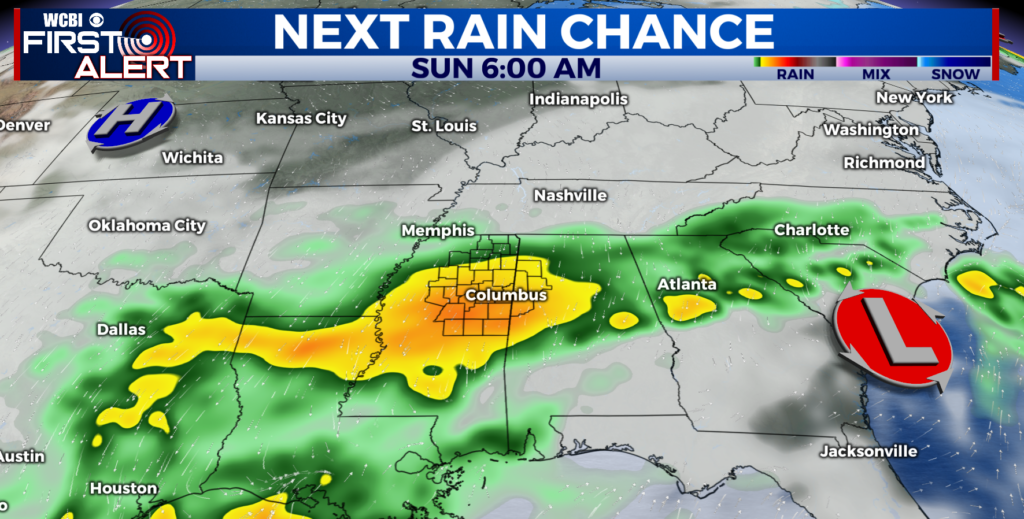
SUNDAY: Temperatures will be 20-30 degrees colder than earlier this week. We’ll struggle to get highs into the low 60s with a stiff NW wind between 10-25mph. Gusts could push 30mph. Skies will stay mostly cloudy until Sunday Night when they start clearing out. Temperatures Sunday Night will be in the upper 40s and low 50s.
MONDAY: This will be a “Chamber of Commerce” type day! That means 100% sun, low humidity, and comfortable highs in the mid 70s.
TUESDAY – FRIDAY: Highs return to the 80s Tuesday and we may be pushing 90 again by Thursday or Friday. Mostly fair weather is expected at this time. There could be an isolated shower or storm during the week, but most will stay dry.
NEXT WEEKEND: We’ll keep our eyes on another storm system that moves in, we’ll keep you up-to-date with the first alert.
SEND US YOUR WEATHER PICTURES TO @WCBIWEATHER ON FACEBOOK, TWITTER AND INSTAGRAM.


Leave a Reply