Relief on the Horizon?
COLUMBUS, Mississippi (WCBI) – A front passing early this week will allow temps to finally cool into the upper 80’s.
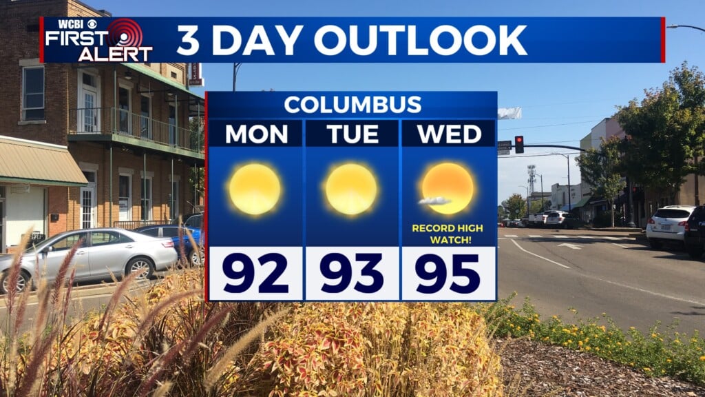
TODAY – This Monday will still feel the effects of the heat dome as temps continue to climb into the upper 90’s and a heat index up to 102. Storms will also manage to sweep through the corner later this afternoon. It will be mostly scattered so not everyone will see rain, but those that do could experience heavy downpours and damaging winds.

TUESDAY – Tomorrow will start to change as the cold front pushes through, mainly dropping low temps first. The afternoon will warm into the mid-90’s with a chance for isolated showers. The low for Tuesday night will cool out of the 70’s and finally into the 60’s.
REST OF WEEK – Wednesday will still linger in the low 90’s, but the lows will continue to drop into the mid-60’s that night. Starting Thursday, afternoon highs will peak in the upper 80’s and lows in the low to mid-60’s for the rest of the week. The cold front will also bring drier air and dry conditions.