Severe Potential Tonight
COLUMBUS, Mississippi (WCBI) – We are continuing to track the potential for severe weather tonight.

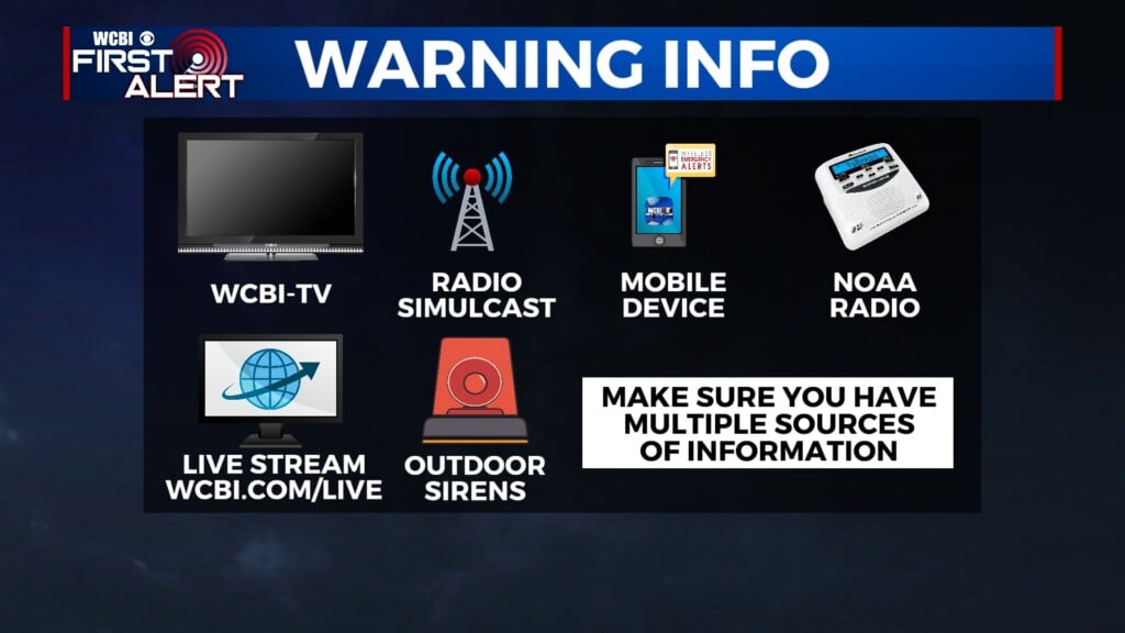
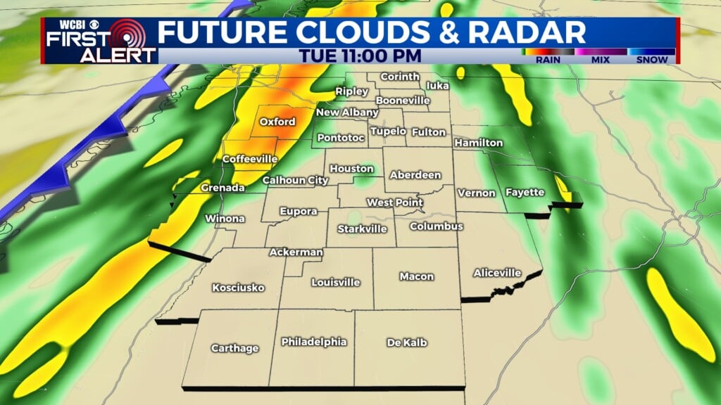
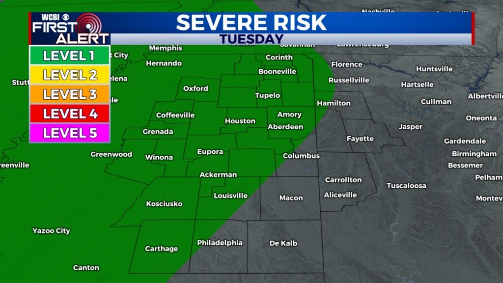
TUESDAY EVENING: A frontal system will continue to move into our area through the evening hours, brining a line of showers and storms with it. This system will slowly move across the NE corner of the state, exiting the area tomorrow morning. Most of the WCBI coverage area remains in a Level 1 out of 5 Risk for severe weather. Primary threats include flash flooding, along with brief, damaging wind gusts. We cannot rule out a weak tornado or two embedded within the line of storms, though the risk of tornadoes is low. Winds will be out of the southeast at 10 to 15 mph, with gusts up to 25 mph. Stay weather aware and have multiple ways to receive watches and warnings.

WEDNESDAY: Rain and storms will continue through the morning and early afternoon hours, clearing by the late afternoon. The heavy cloud cover will limit heating; high temperatures will be in the mid-70’s.
THURSDAY: Nice and dry! We’ll have a mix of clouds and sun through the day, with high temperatures in the mid-70’s once again. Lows will be back in the 40s.