Heat and Storms Chances For Friday!
COLUMBUS, Mississippi (WCBI)- After a fairly dry work week, storm chances return back to the forecast starting today!
TODAY: A cold front will push thunderstorms for north and eastern portions of our area into this afternoon. We still will remain quite hot with highs reaching the low 90s, but with an increase in humidity, feel like temperatures are expected to approach 105! Make sure to stay hydrated as you go about your Friday!


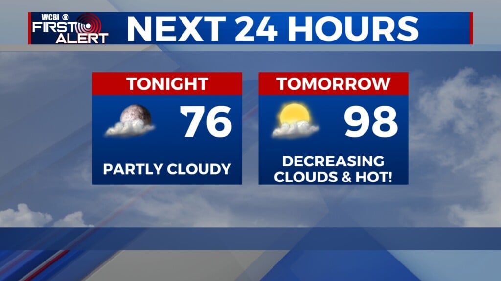
TONIGHT: Partly cloudy conditions and warm temperatures will stick around for tonight. Lows dropping down to around 73.
PLENTY OF RAIN TO START NEXT WEEK: Widespread shower and thunderstorm chances are looking more and more likely for Sunday afternoon through early Tuesday morning of next week! Rich tropical moisture from a small disturbance in The Gulf will move north and into the Southeast starting Sunday. That coupled with a very slow moving front will give the proper ingredients for numerous showers and storms to take place with steady rain rates. This may pose a potential flash flooding risk that we will continue to monitor as we head closer to Sunday.