Continuing Clear Skies
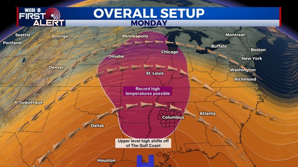
COLUMBUS, Miss. (WCBI) — With a high-pressure system to our south sitting over the Gulf, we will see continuing clear skies as well as well-above-normal temperatures for the next few days.
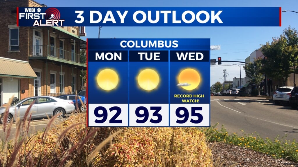
TUESDAY: Today’s forecast high temperature is 93°, so we are likely to break the record high once again today. The record for October 13 was set back in 2016, with a high of 89°. Skies will be sunny most of the day. Calm winds will increase to 5 mph out of the south-southwest in the afternoon.

TUESDAY NIGHT: Skies will remain mostly clear through the night. The low temperature will be around 61°. Winds will be out of the south-southeast at 5 mph, becoming calm through the evening.
WEDNESDAY: Tomorrow’s high will be around 94°, with mostly sunny skies continuing. Winds start calm and increase to 5 mph out of the south. Additionally, there is a small chance that a couple of very isolated showers could move across our northern counties in the afternoon. However, the vast majority of us won’t see any rain tomorrow.

LOOKING AHEAD: A cold front will push across northeast Mississippi and western Alabama. While it will be a dry frontal boundary, it certainly will not be a weak one. High temperatures are likely to drop by about 20° from Thursday to Saturday. It will also be windy as the front passes through our area, with sustained winds of 15 to 20 mph and gusts up to 30 mph at times on Friday. High-pressure systems ahead of and behind the front will keep most of the clouds out of our area, though, so things should remain nice and sunny heading into the weekend.