Fall Weather Sticking Around
COLUMBUS, Miss. (WCBI) — With these warm days and cool nights expected to continue for a while, this fall weather has certainly settled into northeast Mississippi and western Alabama.
Fire Danger
A Special Weather Statement is in effect across much of Mississippi for increased fire danger conditions this week. The ongoing drought has been keeping the ground and environment pretty dry. This, combined with the current low relative humidity and today’s mild breeze, has elevated fire danger across the region. Outdoor burning and activities that involve open sparks or flames are strongly discouraged and, in counties under local burn bans, prohibited. Fires place local forestry agencies and fire departments in life-threatening situations and can endanger communities. Please try to avoid starting forest and grass fires, and if you notice a wildfire, report it to local law enforcement as soon as possible.

Forecast
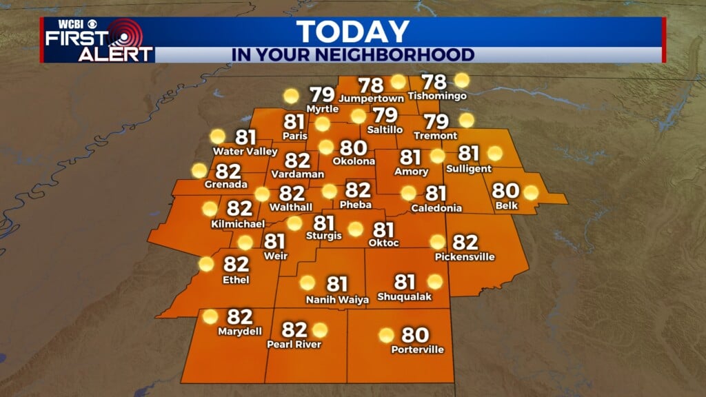
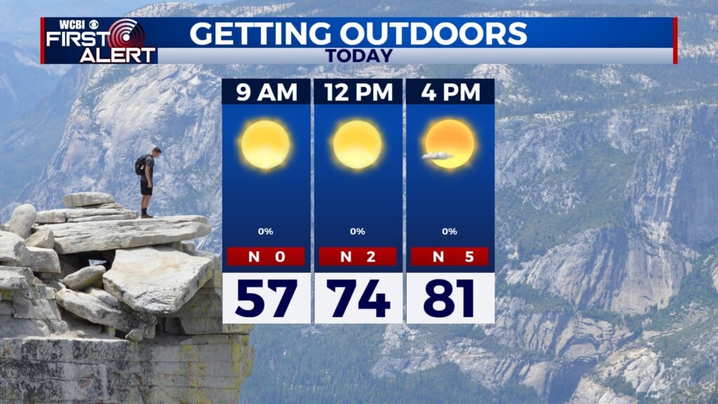
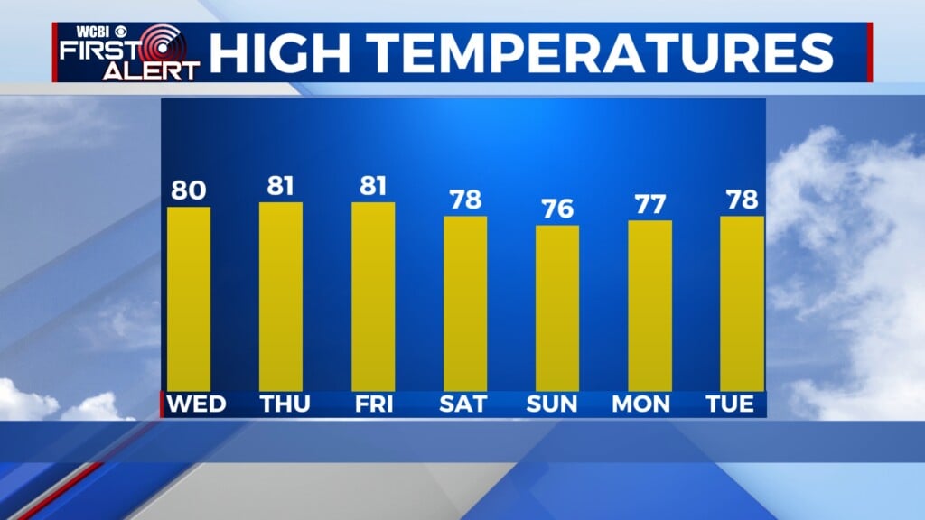
THURSDAY: Though the morning will start cool, we’ll warm up into the low eighties by the mid-afternoon, with a high of 82°. Skies will be clear and sunny all day long. A light north wind will increase to 5 to 10 mph in the afternoon.

THURSDAY NIGHT: Clear skies will continue through the night. It will once again be a chilly night, with lows in the mid-forties across our area. Additionally, winds will be out of the north-northeast at 5 mph.
FRIDAY: Fall weather continues tomorrow with a high around 80°. Winds will start calm and increase to 5 mph out of the east-northeast. With sunny skies sticking around also, it should be a very pleasant end to the work week.

INTO THE WEEKEND: High temperatures will be slightly cooler, around the mid-seventies, due to more northerly upper-level flow. Skies will remain clear and dry as high pressure dominates the weather pattern, and overnight low temperatures will continue to be cool.