Gloomy Day Tomorrow
COLUMBUS, Mississippi (WCBI) – After a dreary Halloween weekend, more cloudy conditions are in store tomorrow. Our next weather-maker comes midweek.
SUNDAY EVENING: A stray shower is possible through the late evening hours, with mostly cloudy conditions otherwise. Increased cloud cover will keep us a little warmer than normal; low temperatures will be in the upper-50s.
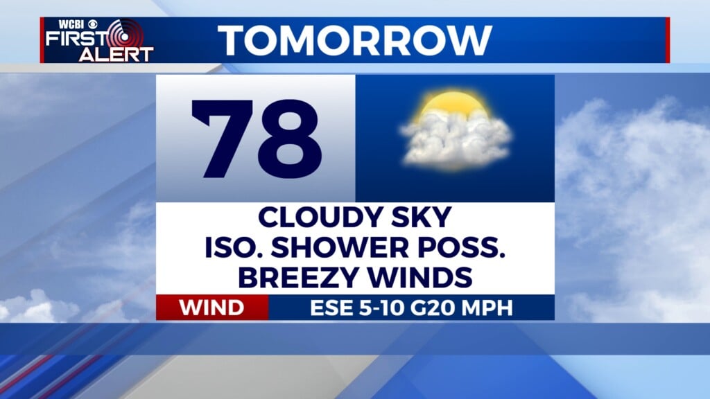
MONDAY: Cloud cover will persist through the morning and early afternoon hours. An isolated shower is possible, though most of us will be dry. High temperatures will be in the upper-70s. Winds will be gusty at times, with gusts up to 20 mph possible.
TUESDAY: We will start the day dry, but an approaching low pressure system will bring showers and storms to our area later in the day. A line of showers and storms is likely to begin impacting our western counties in the afternoon before slowly moving across the rest of our area through the evening and overnight hours. As of now, the risk for strong to severe storms is low and exists mostly to our west. However, we will be monitoring this system over the coming days. High temperatures will be in the low-80’s.