Classic Fall Weather
COLUMBUS, Mississippi (WCBI) – Warm afternoons and chilly nights continue this week. A mid-week cold front will bring rain Wednesday night, but we’ll be dry otherwise. A big cooldown is on the way for the end of the week.
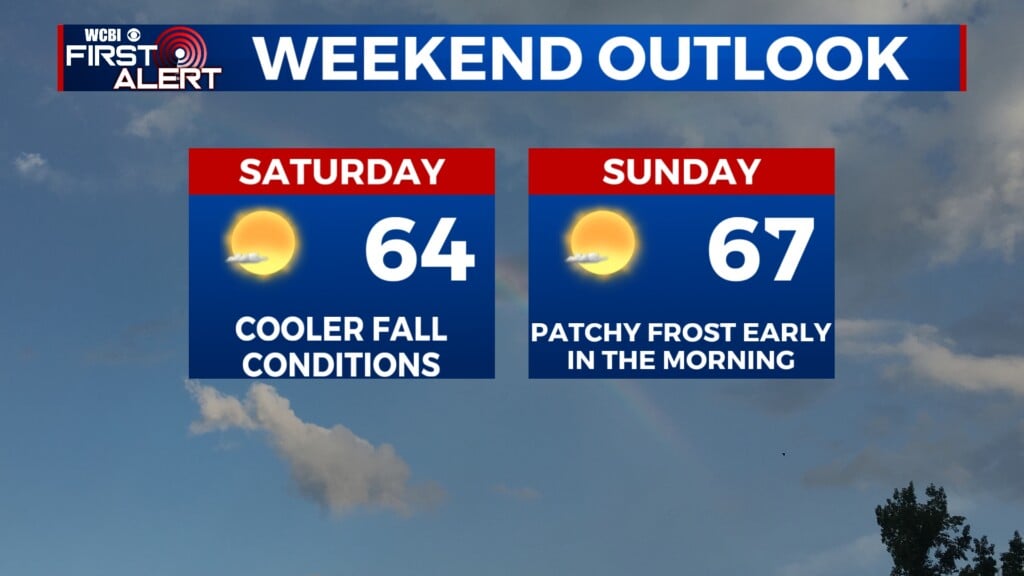
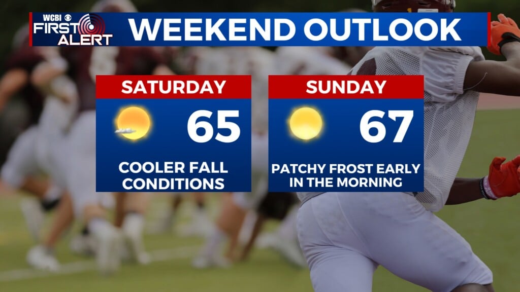
SUNDAY EVENING: Temperatures will gradually drop into the low-to-mid-30s overnight. Areas north of I-22 may dip a degree or two below freezing, but most of us will stay above the freezing mark. However, patchy frost is still possible early tomorrow morning, along with some fog.

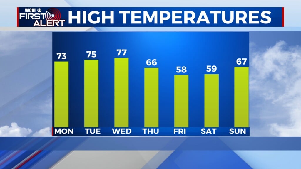
MONDAY: It’ll be cold as you head out the door, but temperatures will climb into the mid-70s by the afternoon. Expect mostly sunny conditions with no rain across the area. Winds will be calm.
REST OF THE WEEK: Tuesday and Wednesday will be similar to Monday. Wednesday night, though, rain chances return as a cold front will move across the area. As of now, showers and a couple of thunderstorms are possible overnight Wednesday into early Thursday. Rain will clear out by Thursday morning and we’ll stay dry heading into the weekend. This cold front is expected to be quite potent; high temperatures will be in the 60s on Thursday and the 50s on Friday.