Cold Front Pushing Through Tonight
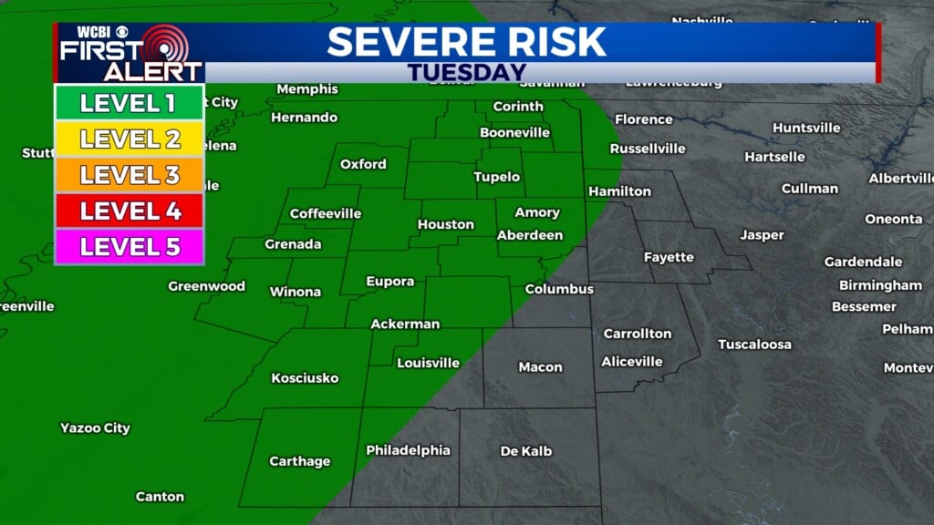
COLUMBUS, Miss. (WCBI) — A strong cold front is tracking east across the country, bringing a risk of severe storms to our area tonight. A marginal risk for severe weather has been issued across most of our area for today through early tomorrow morning.

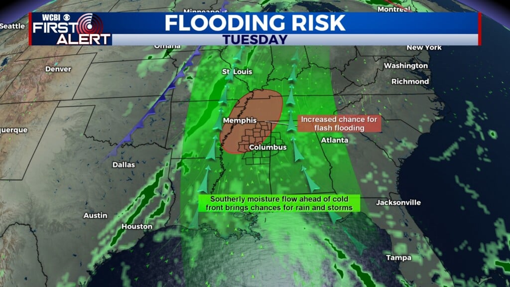
TUESDAY: Skies will be mostly cloudy throughout the day, and we’ll stay rain-free through the morning and early afternoon. However, by mid-afternoon and especially after sunset, isolated showers will pop up in parts of our area as southerly flow brings significant moisture from the Gulf ahead of the cold front. It will also stay warm today, with a high near 80°. Winds are from the south-southeast at 10 to 15 mph, with gusts up to 25 mph.

Cold Front Passage
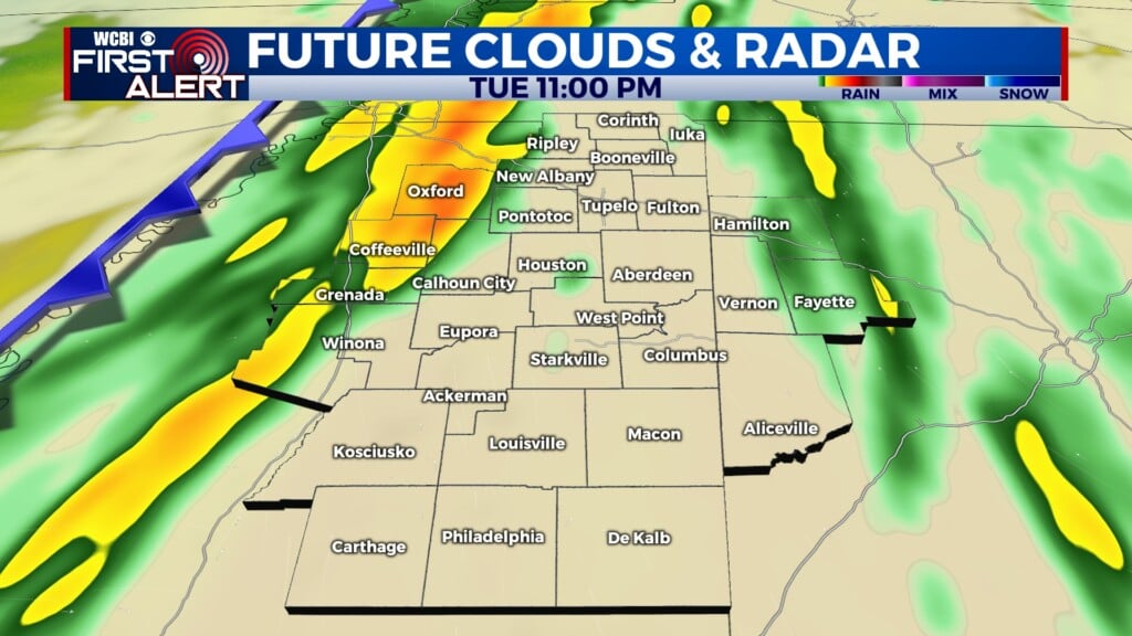
TUESDAY NIGHT: Rain showers will increase in coverage and intensity as the cold front nears. A line of strong to severe thunderstorms is also likely ahead of the frontal boundary. This could bring severe weather impacts to our area. The primary threats tonight are flash flooding in low-lying and urban areas, along with brief damaging wind gusts. Additionally, while tornadoes are unlikely tonight, we cannot rule out a weak tornado or two embedded within the line of storms. Winds will be out of the southeast at 10 to 15 mph, with gusts up to 25 mph. Also, the low temperature tonight will be 65°.

WEDNESDAY: Showers will continue through the morning and early afternoon, but the main threat of thunderstorms and any severe weather should be moved out to the east by the time you’re heading out for the day. By late afternoon, we may see breaks in the cloud cover, making for partly cloudy skies as we approach evening. The high temperature tomorrow will be 78°. Additionally, winds out of the south at 5 to 10 mph will shift to west-northwesterly after the cold front passes.