Early-week cold front puts stop to warming trend
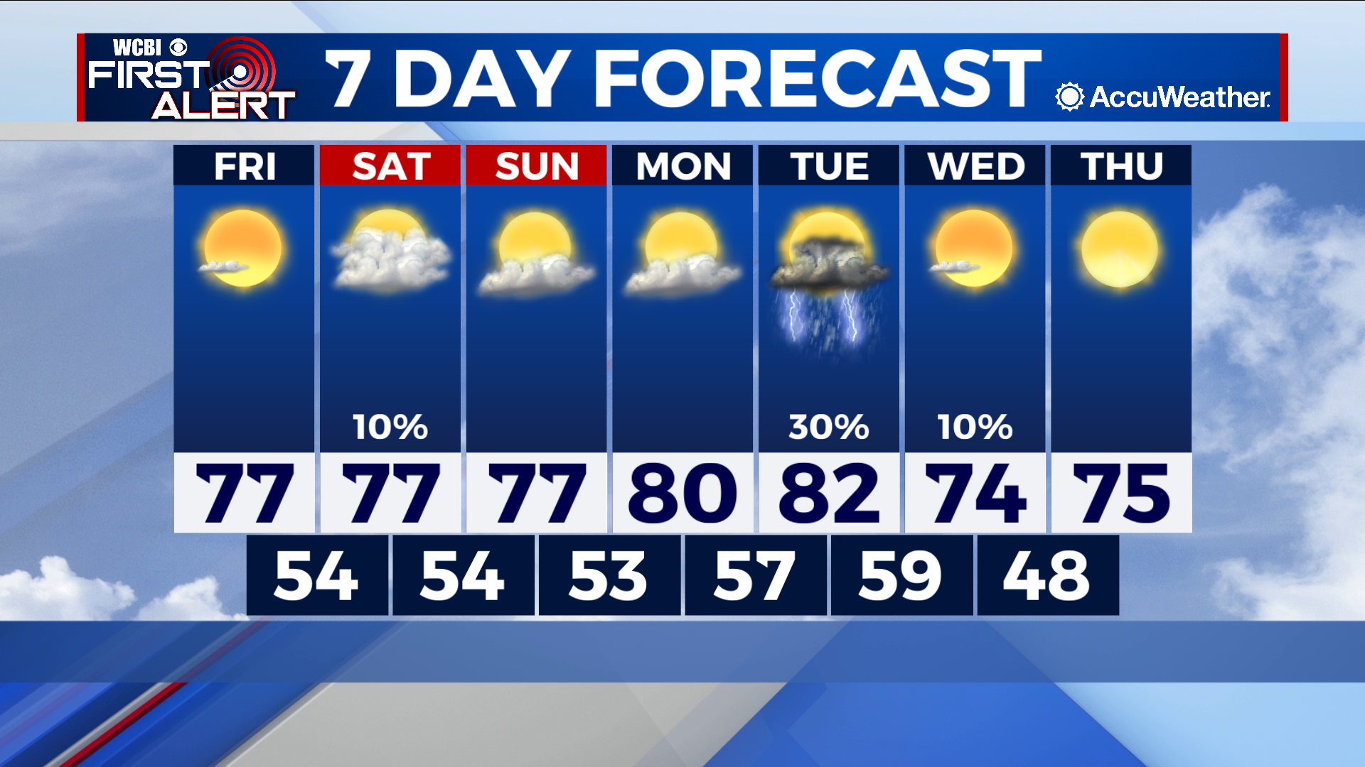
COLUMBUS – SUMMARY: Slow warming into the 80s over the next few days is stymied by an eventual cold front Tuesday. A slight rain chance accompanies the front Tuesday but overall conditions remain dry throughout the week.
FRIDAY: Afternoon temperatures top out in the upper 70s as sunshine prevails across the region. Lows bottom out in the mid to low 50s. No rain is expected.
WEEKEND: Temperatures will actually remain relatively stable in the upper 70s over the weekend. Increased cloud cover starting Saturday will help with this, although no rain other than the outlying sprinkle can be expected. Lows likewise sit around in the mid to low 50s.
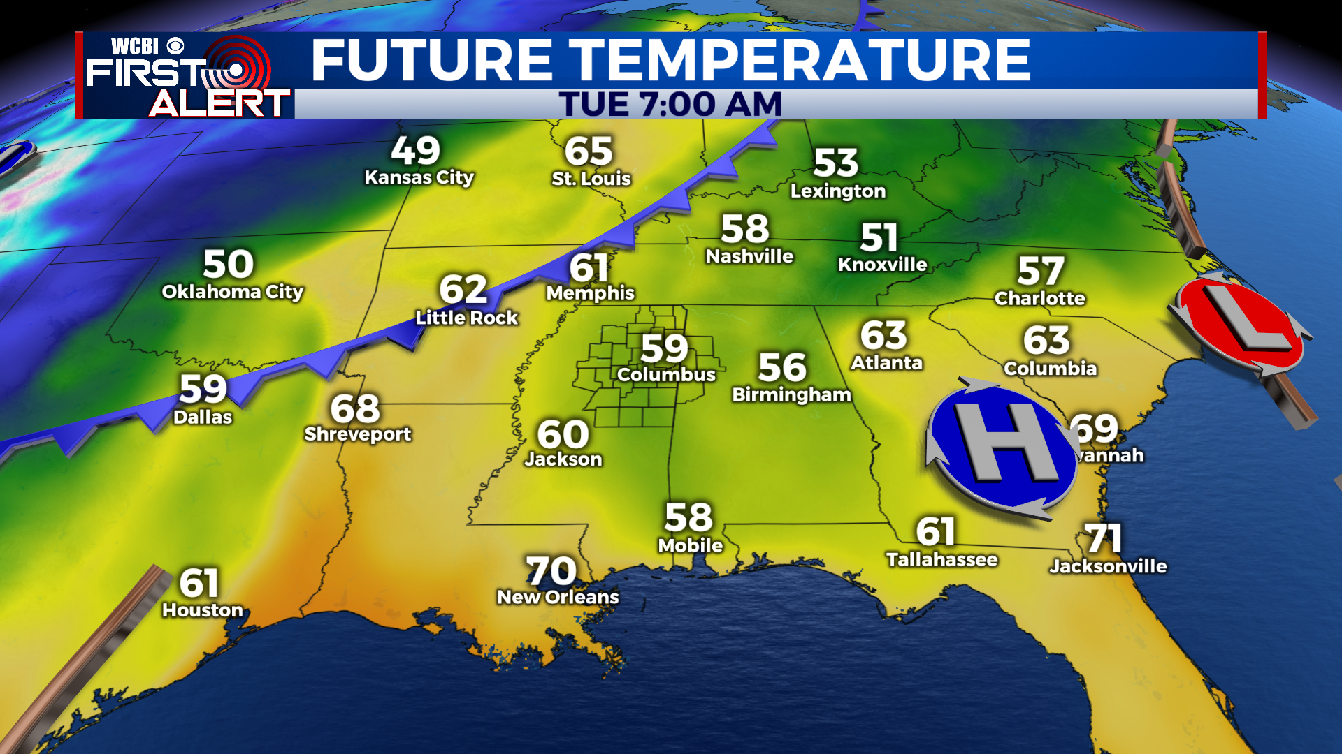
NEXT WEEK: Afternoon highs warm into the low 80s by Tuesday before our next cold front rolls on through the same day. Some chance for showers and storms is expected with this front, although the confidence in intensity and coverage remains low at this time. Afternoon temperatures take a moderate but not severe drop into the mid 70s in the days after, while lows hit the upper 40s by overnight Wednesday.