Hot Thursday With Iso. Storms
COLUMBUS, Mississippi (WCBI)- A hot day for Thursday along with the chance of seeing isolated storms to the west. An update on the timing of this weekend’s cold front and storms.
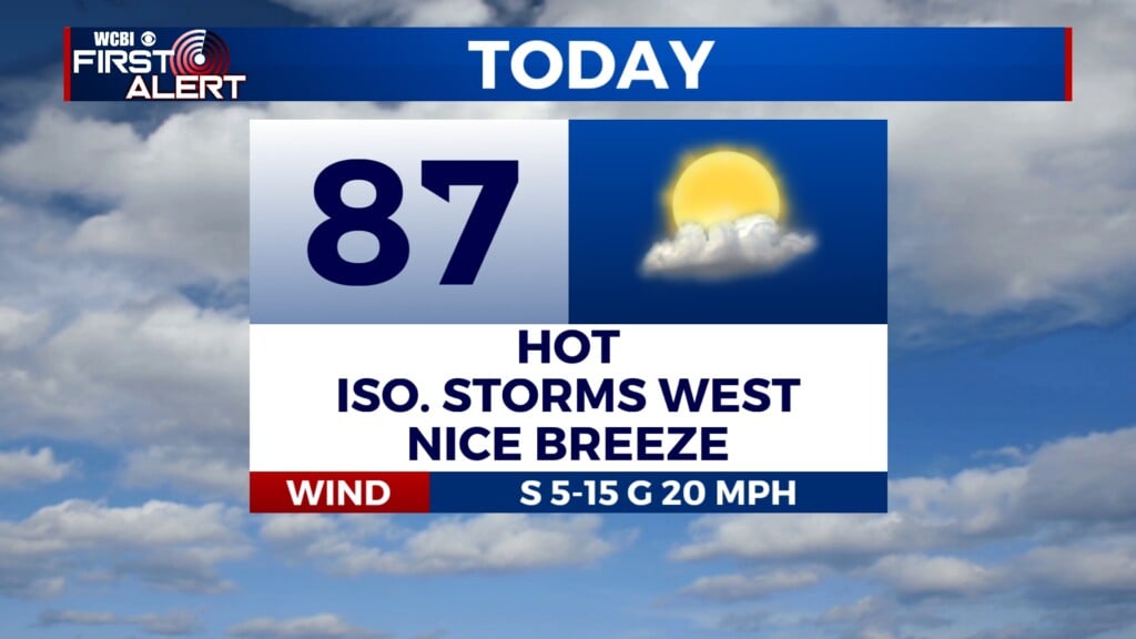
TODAY: Partly to mostly cloudy conditions for Thursday, but that cloud cover won’t help much to cool the area down. Highs are expected to reach the mid to upper 80s! An isolated storm chance is set to take place mainly for areas along I-55.
TONIGHT: Another warm night. Plenty of cloud cover overall with lows only dropping down into the mid 60s.
EASTER WEEKEND STORMS: A cold front will look to bring widespread showers and storms for Saturday. Scattered showers and storms are possible ahead of the cold front during the afternoon, until the main line of storms begin to progress through the area close to sunset and through the early morning hours on Sunday. A Marginal Risk (1/5) is in place for small hail and damaging winds. The main impact will be beneficial rainfall and cooler temperatures heading into next week.