Near record high temperatures through mid-week
COLUMBUS, Mississippi (WCBI) – Temperatures stay well above average through Wed/Thu before a strong front arrives early Friday.
TUESDAY: Nearly full sun is on the way with highs soaring into the middle 80s for most. It could get occasionally breezy as well, with southwest winds up to 15 mph through the day. This will continue at least some risk of fire spread through the region, so heed all local burn bans!
WEDNESDAY: The warmest day! Stronger southwest winds with more sunshine should equal high temperatures into the middle 80s yet again, possibly pushing 86-87 degrees for a few spots.
THURSDAY: Clouds will quickly increase through the day, holding high temperatures closer to 80°. A few showers are likely by late-day into the evening, but the better coverage of light rain looks to come in Friday.
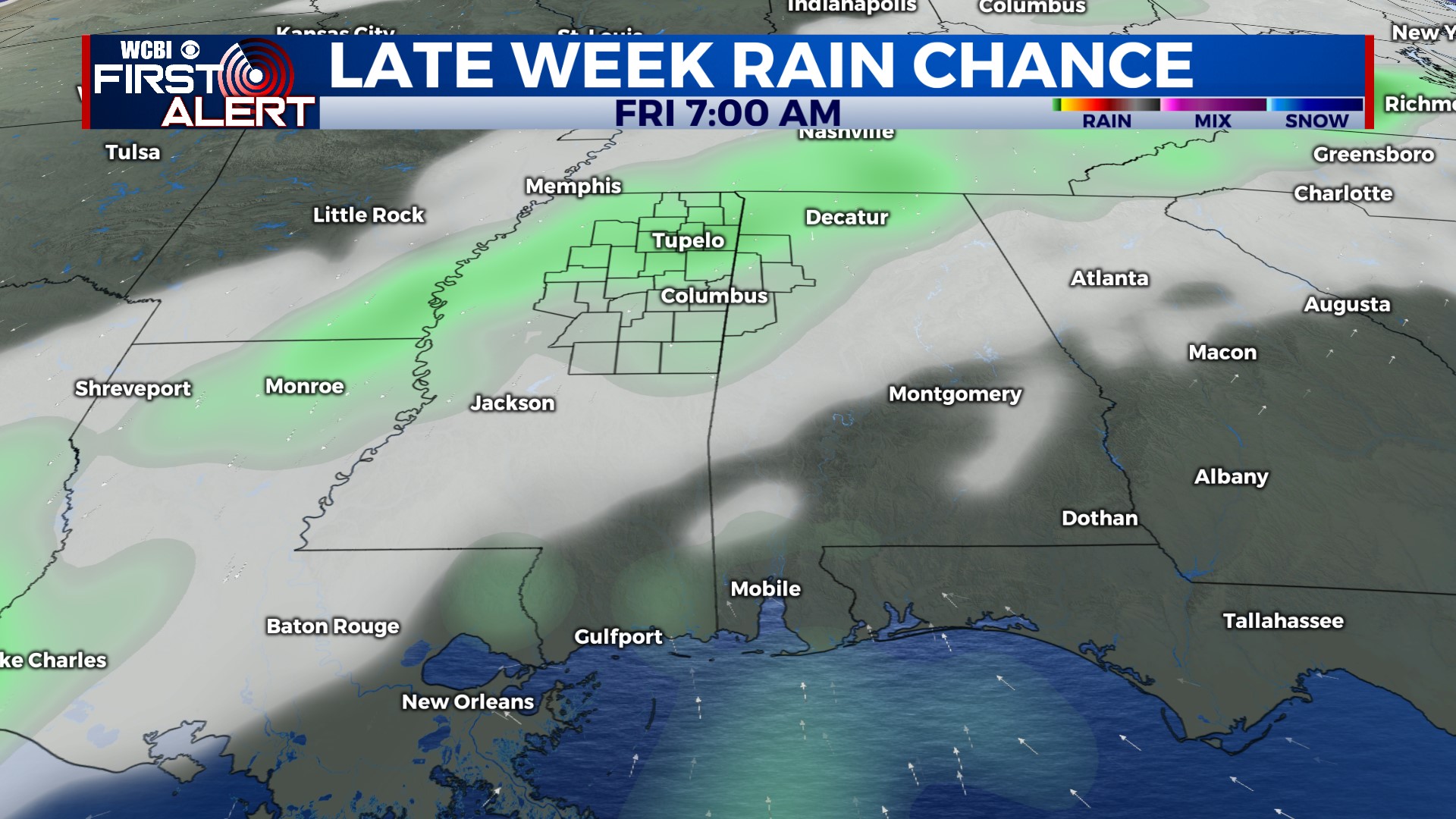
FRIDAY: Another shallow front is set to pass through the region early Friday, bringing rain and cooler air much of the day. The “high” temperature is likely to occur at midnight, with daytime temperatures in the 50s. Widespread light rain is expected, but rain totals are unlikely to add up to more than a half inch…if we’re lucky.
WEEKEND: Models continue to be split on potential lingering rain chances. For now, the going forecast is dry…but stay tuned for changes. Regardless, we expect clouds to linger quite a bit Saturday & Sunday, holding highs in the mid 60s.