One More Day of Warm Temperatures
COLUMBUS, Miss. (WCBI) — With a strong cold front marching east across the country, we’ve got only one more day of warm temperatures before things start to feel more like fall as we head into the weekend.
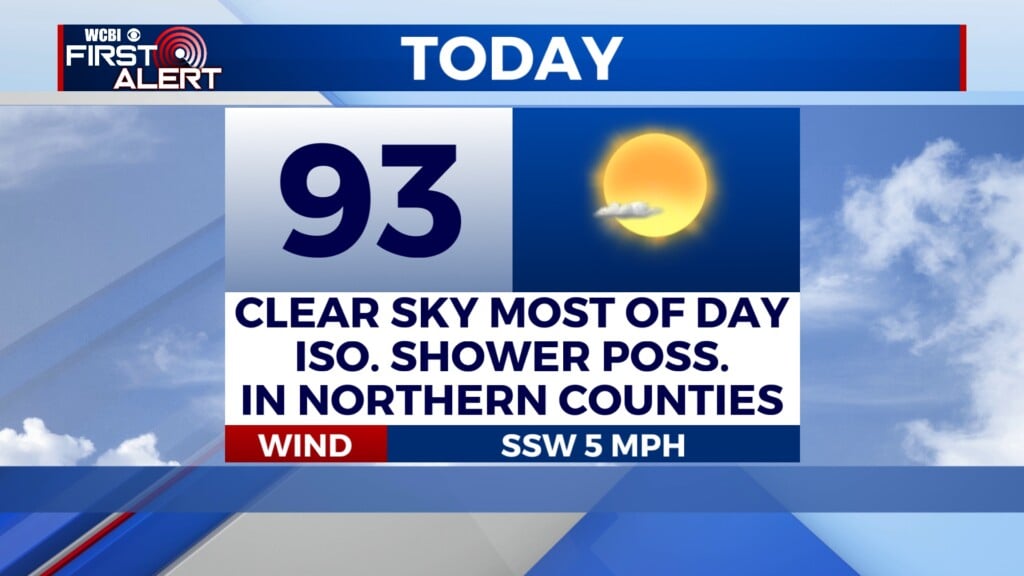
THURSDAY: One more day of warm, possibly record-high temps today, with a forecast high of 93°. The high for Columbus was set back in 2015 at 93° as well. Sunshine will persist across our area all day long. Winds start calm and increase to 5 mph out of the south.

THURSDAY NIGHT: Patchy smoke or haze may develop early tonight, between 10 p.m. and midnight. However, things should stay mostly clear through the rest of the night. The low temperature will be 63° with south-southeasterly winds at 5 mph.
FRIDAY: While the high temperature tomorrow will get up to 82°, we will reach this temperature earlier in the day, likely close to noon. As we get through the afternoon hours, we will start to feel the effects of the cold front passing through, with temperatures dropping rapidly into the sixties and fifties as the afternoon progresses.

Though the front is strong, it won’t bring additional moisture — skies will stay mostly sunny. It will also be windy out there. In the morning, winds will be out of the south-southwest at 5 to 10 mph. By the afternoon, they will shift to more north-northwesterly at 15 to 20 mph. Gusts could reach 30 mph at times. Because of these gusty and dry conditions, a Fire Weather Watch will be in effect for portions of our area tomorrow from 9 a.m. until 8 p.m.