Strong to severe storms Tuesday night
COLUMBUS, Mississippi (WCBI) – A chance for severe storms returns tomorrow with storms lingering into Wednesday morning.
MONDAY NIGHT: It is a calm night to build up the atmosphere ahead of the next system moving into the Deep South. Moisture and heavy clouds expected overnight. Temperatures will drop into the low to middle 60s.
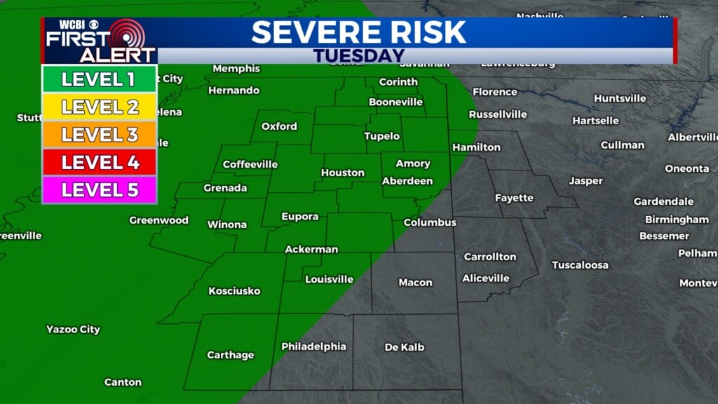
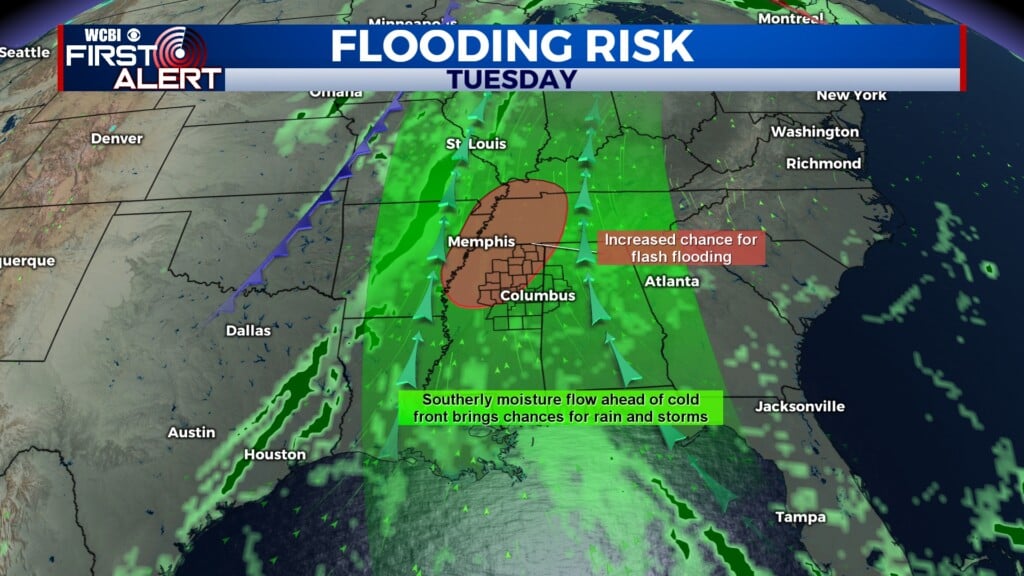
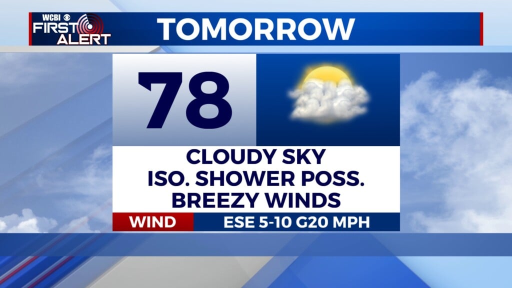
ELECTION DAY: Time to hit the polls! Luckily, the frontal boundary moving in will take its time. Mostly dry conditions through the morning, with heavy clouds. By the afternoon, isolated rain chances will begin popping up. Pre-frontal showers/thunderstorms will be possible along the MS/AL state-line through the early evening. The main line for showers and storms will hit our western counties around 9PM. The SPC has already placed a Level 1 – Marginal Risk for severe weather across our entire coverage area. Damaging wind, flooding and an isolated tornado or two are the main threats. The driving force of the front will gradually shift the line of storms East across the state overnight and into Wednesday morning.

WEDNESDAY: Most of the rain really comes on Wednesday, expect it to be soggy for most of the beginning of your day. The rain and the cold front combined will help limit temps to the mid-70’s that afternoon. By the afternoon and evening rain should be clearing up and temps will lower into the low 50’s overnight.