Sections
News
2025 Municipal Elections
Crime
Local News
National/World News
MidMorning with WCBI
Sunrise & Midday Guests
WCBI Sunrise Saturday
Sports
Local Sports
College Sports
2025 High School Football Tour
Weather
Latest Forecast
Interactive Radar & Alerts
Severe Weather Center
Area Closings
Local River Forecast
WCBI Weather Radios
Weather Whys
Weather Safety Information
Contests
Viewers Choice Awards 2026
2026 March Mayhem 3 in 1
WCBI Cutest Couple 2026
FOX 4 Winter Premieres Giveaway
FOX 4 Premiere Week Giveaway
Teacher of the Month
WCBI Contests – Rules, Privacy, and Service
FEATURES
Community
Home and Garden 2026
WCBI Cares
WCBI CONNECT
WCBI Senior Expo 2025
Job Fair 2025
Senior Spotlight 2026
Local Events
Obituaries
2025 Obituaries
2023 – 2024 Obituaries
Pets Without Partners
Big Deals
WCBI Medical Expert
Hosford Legal Line
Find A Job
CHANNELS
WCBI Channel Updates
CBSN Livefeed
My MS
Fox 4
WCBI – LP
What’s On
Ion Plus
ABOUT US
FCC Applications
About WCBI-TV
Contact Us
Employment
WCBI FCC Reports
Intern With Us
Meet the WCBI Team
Mobile App
WCBI – On-Air Guest Rules
ADVERTISE
Broadcast & Digital
Outdoor Media
Video Services of WCBI
WCBI Payment Portal
WCBI live
About
Connect With Us
Home - WCBI TV | Telling Your Story
Search
News
2025 Municipal Elections
Crime
Local News
National/World News
MidMorning with WCBI
Sunrise & Midday Guests
WCBI Sunrise Saturday
Sports
Local Sports
College Sports
2025 High School Football Tour
Weather
Latest Forecast
Interactive Radar & Alerts
Severe Weather Center
Area Closings
Local River Forecast
WCBI Weather Radios
Weather Whys
Weather Safety Information
Contests
Viewers Choice Awards 2026
2026 March Mayhem 3 in 1
WCBI Cutest Couple 2026
FOX 4 Winter Premieres Giveaway
FOX 4 Premiere Week Giveaway
Teacher of the Month
WCBI Contests – Rules, Privacy, and Service
FEATURES
Community
Home and Garden 2026
WCBI Cares
WCBI CONNECT
WCBI Senior Expo 2025
Job Fair 2025
Senior Spotlight 2026
Local Events
Obituaries
2025 Obituaries
2023 – 2024 Obituaries
Pets Without Partners
Big Deals
WCBI Medical Expert
Hosford Legal Line
Find A Job
CHANNELS
WCBI Channel Updates
CBSN Livefeed
My MS
Fox 4
WCBI – LP
What’s On
Ion Plus
ABOUT US
FCC Applications
About WCBI-TV
Contact Us
Employment
WCBI FCC Reports
Intern With Us
Meet the WCBI Team
Mobile App
WCBI – On-Air Guest Rules
ADVERTISE
Broadcast & Digital
Outdoor Media
Video Services of WCBI
WCBI Payment Portal
WCBI live
1
/
0
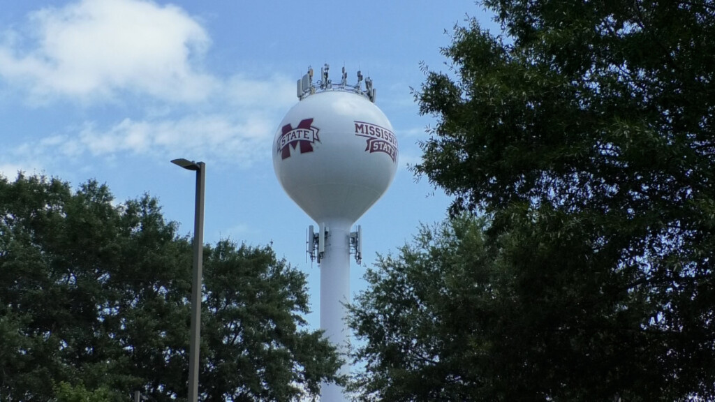
fall-enrollment
Overall fall enrollment is up at public universities in Mississippi
What's On TV Now
Complete TV Programming
Local Events
Close
Share
Toggle Fullscreen
Zoom in/out
Previous
Next