Temperature Rollercoaster
COLUMBUS, Miss. (WCBI) — The temperature rollercoaster will keep climbing through tomorrow, but a big drop is just ahead, bringing much colder conditions to end the week.

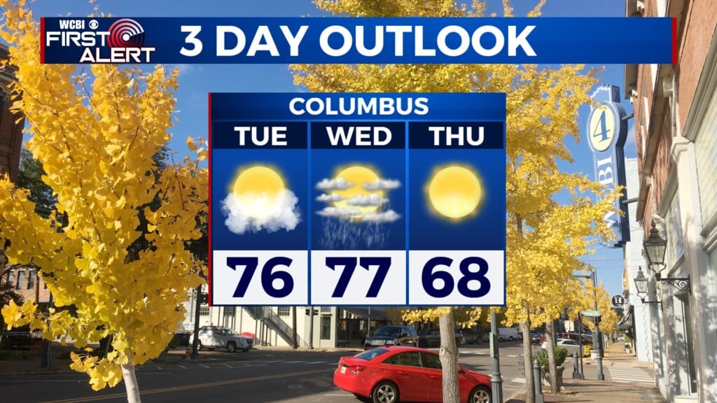
TUESDAY: Some patchy fog might linger early, but it should dissipate by mid-morning. Mostly sunny skies will prevail for the rest of the day. It will be seasonably warm, with a high of 76°. Calm winds will increase to 5 mph out of the west-northwest.
TUESDAY NIGHT: Conditions will remain mostly clear tonight. This will allow temperatures to drop a good bit, down to a low of 43°. Winds will be calm and quiet.
WEDNESDAY: Above-normal temperatures continue tomorrow, with a high around 77°. While skies will be partly sunny, there is a chance for some isolated showers in our area. This is due to two separate mechanisms: Gulf moisture flowing up from the southwest and an approaching cold front moving eastward across the central U.S. These showers will remain very isolated in nature, so not all of us will see rain from these systems. We are also not expecting significant rain accumulation; areas that do receive rain are likely to see only a tenth to a third of an inch. Light and variable winds will increase to 5 to 10 mph out of the west-southwest in the afternoon.

Rest of the Week
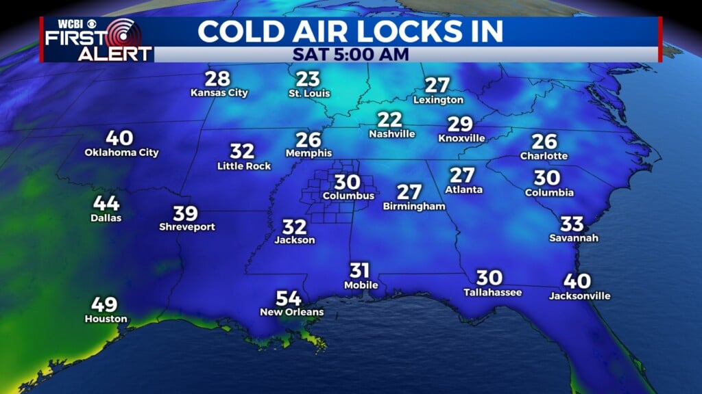
The passage of the cold front will mark the crest of the temperature rollercoaster, and we’ll see temps plummet as we wrap up the week. From Wednesday to Friday, both the high and low temperatures will drop more than 15°, putting us in the high fifties for our weekend high temperatures. Low temperatures will be below freezing by the end of the week, around the 30° mark. Plenty of sunshine will stick around, though it won’t do much to make things feel warm.