Busy Start to Fall
COLUMBUS, Mississippi (WCBI) – Yesterday was the first day official day of Fall – and our weather got the memo. We’ll be cooling down mid-week as a cold front passes through, which will also bring the chance for some strong to severe storms on Wednesday and into early Thursday morning.
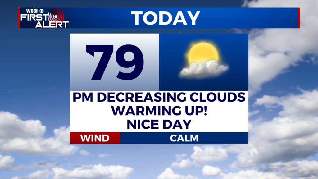
TUESDAY: Summer weather is sticking around for another day as our temperatures will approach the mid-90’s this afternoon. We have the potential to see a couple of isolated storms before lunch before we clear out for the afternoon. Then, this evening, we could see a couple of isolated showers.
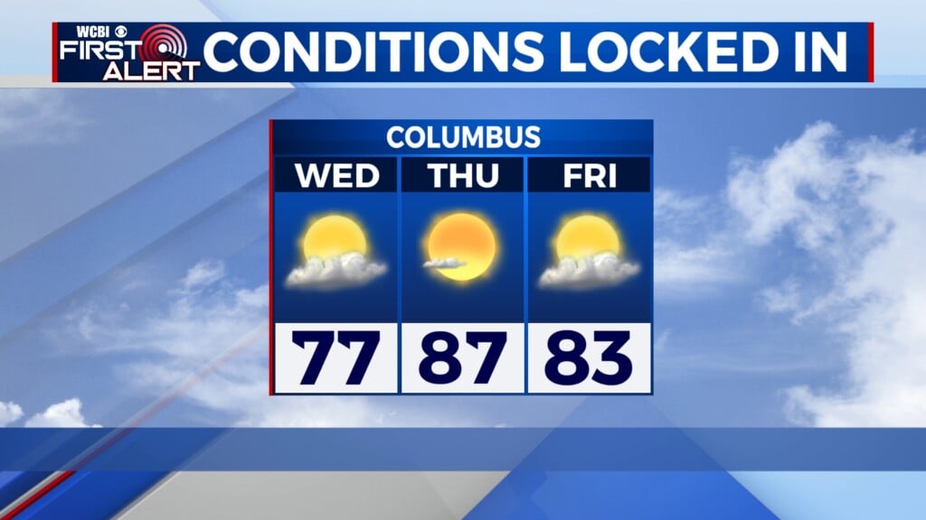
WEDNESDAY: Early Wednesday morning, we could see a line of storms come through our area ahead of a cold front. The bulk of the rain and storms will come later on Wednesday. A line of storms will work through our area after lunchtime, followed by a cold front later in the evening that will bring another round of rain and storms. We have a 1 out of 5 risk for seeing severe weather – the main threat will be strong, gusty winds in any stronger storms that develop. Severe thunderstorms will be isolated – widespread severe activity is not expected as of now. High temperatures will only reach the upper-80’s.
THURSDAY: Lingering rain from Wednesday’s cold front will stick around throughout the beginning of Thursday, but we should clear out by the afternoon. Our first cooldown of Fall will be in full swing with temperatures only in the mid-80’s.


