One More Extremely Hot Day For Wednesday
COLUMBUS, Mississippi (WCBI)- Heat Advisory remains in effect for Wednesday, but some relief is stored in the way of rain chances.
TONIGHT: Most of the area looks to remain dry and mostly clear as lows drop to the mid 70s. A cold front will begin to move to our far northern counties close to midnight and beyond bringing with it cloud cover along with the opportunity for a stray shower or storm.
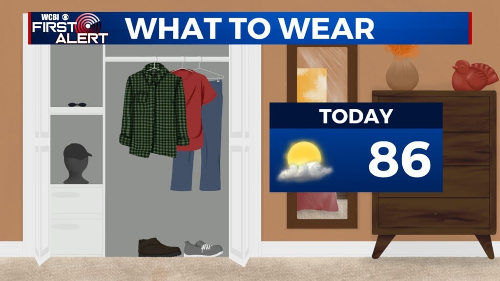
TOMORROW: One last very hot day for Wednesday as highs reach once again into the mid to upper 90s. A heat advisory is in effect for heat index values exceeding past 105! Make sure to drink plenty of water and take breaks indoors. Isolated storms are possible for areas further north during the afternoon/evening thanks to the slow moving cold front.

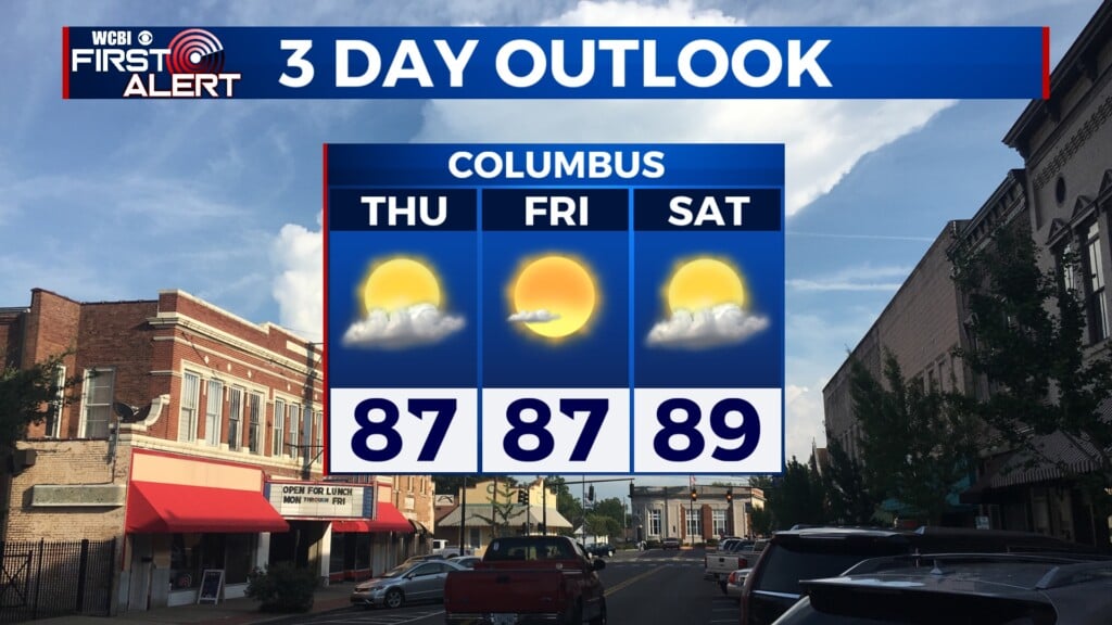
BETTER RAIN CHANCE TO END THE WORKWEEK: The aforementioned cold front will continue to hang around to close out the workweek. Because of this better confidence for isolated thunderstorms will take place throughout the area. A nice but small positive note is that this will allow temperatures to drop from the mid 90s to low 90s.