Humid and Rainy End to the Week
COLUMBUS, Miss. (WCBI) — With abundant moisture moving into our environment here in northeast Mississippi and western Alabama, humid and rainy conditions are likely to persist through much of the next 72 hours.
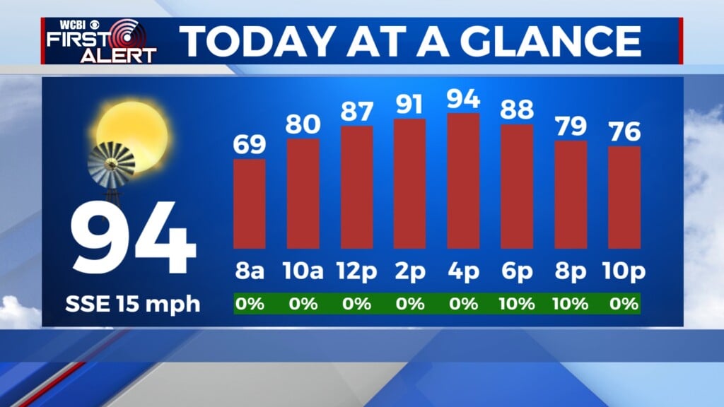
FRIDAY: The morning and early afternoon will be mostly sunny, but more cloud cover will push into our area mid-afternoon. There is a slight chance of showers and thunderstorms in the late afternoon and evening. However, any rain that we see will be isolated to widely scattered. Today’s high is around 93°, but with elevated dew points and relatively high humidity, the heat index will push closer to 99° this afternoon. Winds start out calm but increase to 5 mph out of the south by midday.

FRIDAY NIGHT: A small chance for thunderstorms lingers through the evening and nighttime hours. Early tomorrow morning, patchy fog may form because of the high humidity lingering overnight. The low temperature will be around 69°. Winds are out of the east-northeast at 5 mph, calming down towards sunrise.
OUTLOOK FOR THIS WEEKEND
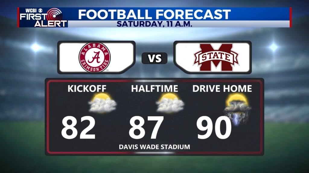
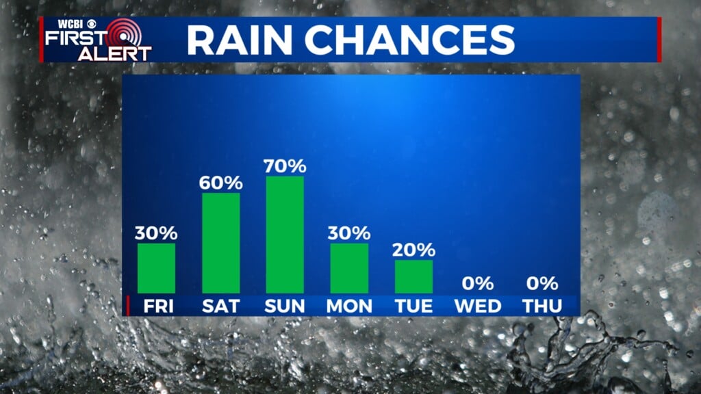
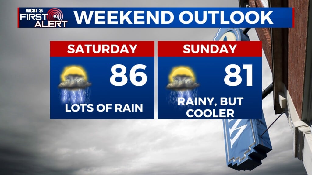
SATURDAY: Humid and rainy conditions persist through much of tomorrow. Scattered showers are possible across our area all day, but the main threat of heavier rain and possible thunderstorms is later in the day, especially overnight into Sunday. During the daytime hours tomorrow, we will likely see some spotty showers push across the region — so it’s unlikely to be a washout during the football game at Mississippi State. Skies will be mostly cloudy tomorrow. The high temperature will be around 90°, with continuing increased humidity making the heat index feel like 97°. Winds will be out of the east at 5 mph.

SUNDAY: Temperatures will be dropping a bit as the flow shifts to be more northerly, with a high temperature around 81°. A 70% chance of showers will persist through the day, with northeasterly winds at 5 mph.