A Fall weekend has arrived
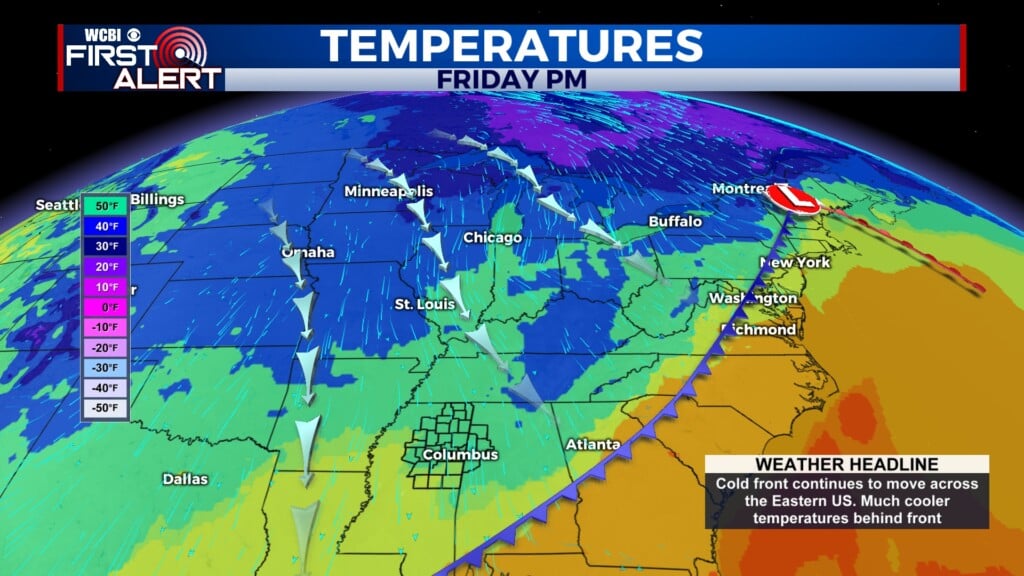
COLUMBUS, Mississippi (WCBI) – The cold front arrived and FINALLY so did the Fall feel!

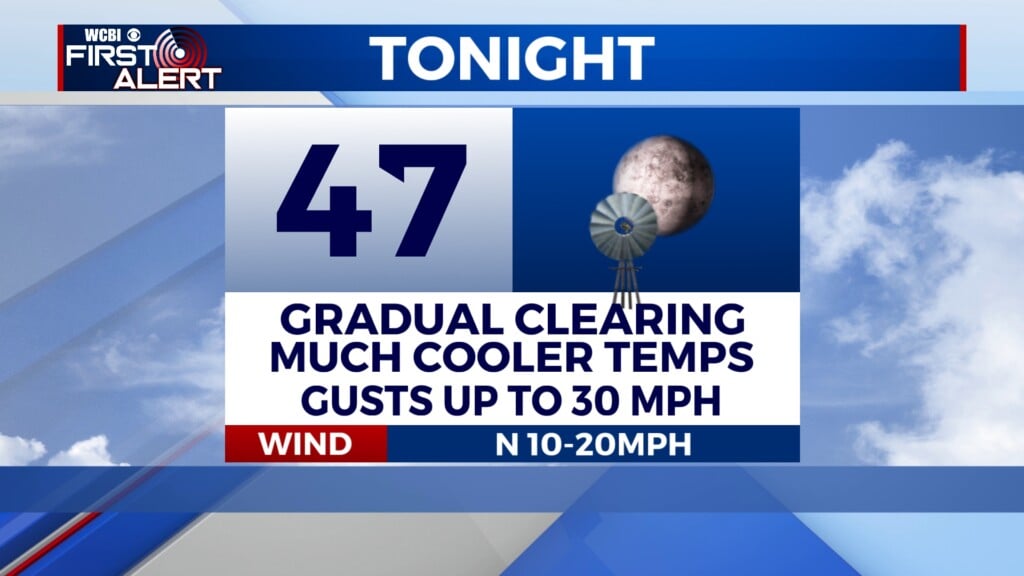
FRIDAY NIGHT: Today’s cold front quickly dropped temperatures as it moved into the Deep South. Conditions tonight will continue dropping temperatures and the wind will stay breezy. Overnight lows will fall into the upper 40s, with wind gusts up to 30MPH. Waking up Saturday morning, the wind chill could feel like the low to middle 40s instead. Our heavy clouds will gradually clear through the night.

SATURDAY: Fall conditions are here for the weekend! Afternoon high temperatures will reach the upper 60s to lower 70s across NE MS and western AL. Lots of sun though! Breezy conditions maintain, with wind gusts up to 25MPH. Because of the wind and dry conditions, a RED FLAG WARNING is in place for Saturday from 11a-7p. This means extra caution around anything that could start a spark, especially in the counties under BURN BANS. Overnight lows will drop into the lower 40s. Waking up Sunday morning, the wind chill could feel like upper 30s.

SUNDAY: The Fall feel maintains through the second half of the weekend. High temperatures will reach the lower 70s by the afternoon, with plenty of sun in the sky. The wind speeds will be much calmer, coming in from the East at about 5-10MPH. Low temperatures overnight will return to the low to middle 40s.
NEXT WEEK: There will be a gradual climb in high temperatures throughout the week. Back to the 80s by the second half. Overall, conditions will expect to be calm and comfortable. Lots of sun with some light movement in the air. Lows will gradually increase as well, into the low to middle 50s by Wednesday.