Clearing Saturday afternoon, storms return next week
COLUMBUS, Mississippi (WCBI) – The second half of Saturday and into Sunday looks fantastic. Storms (some strong to severe) return next week.
SATURDAY: Clouds and spotty light rain will clear after lunch, becoming mostly sunny by 2-4p. Highs should reach the low 70s if clearing occurs on schedule.
SUNDAY: With high pressure nearby, expect a sunny sky with highs in the middle 70s.
MONDAY: Clouds will increase late in the day as a southerly wind becomes established, but no rain or storms are expected. Daytime highs in the upper 70s are likely.
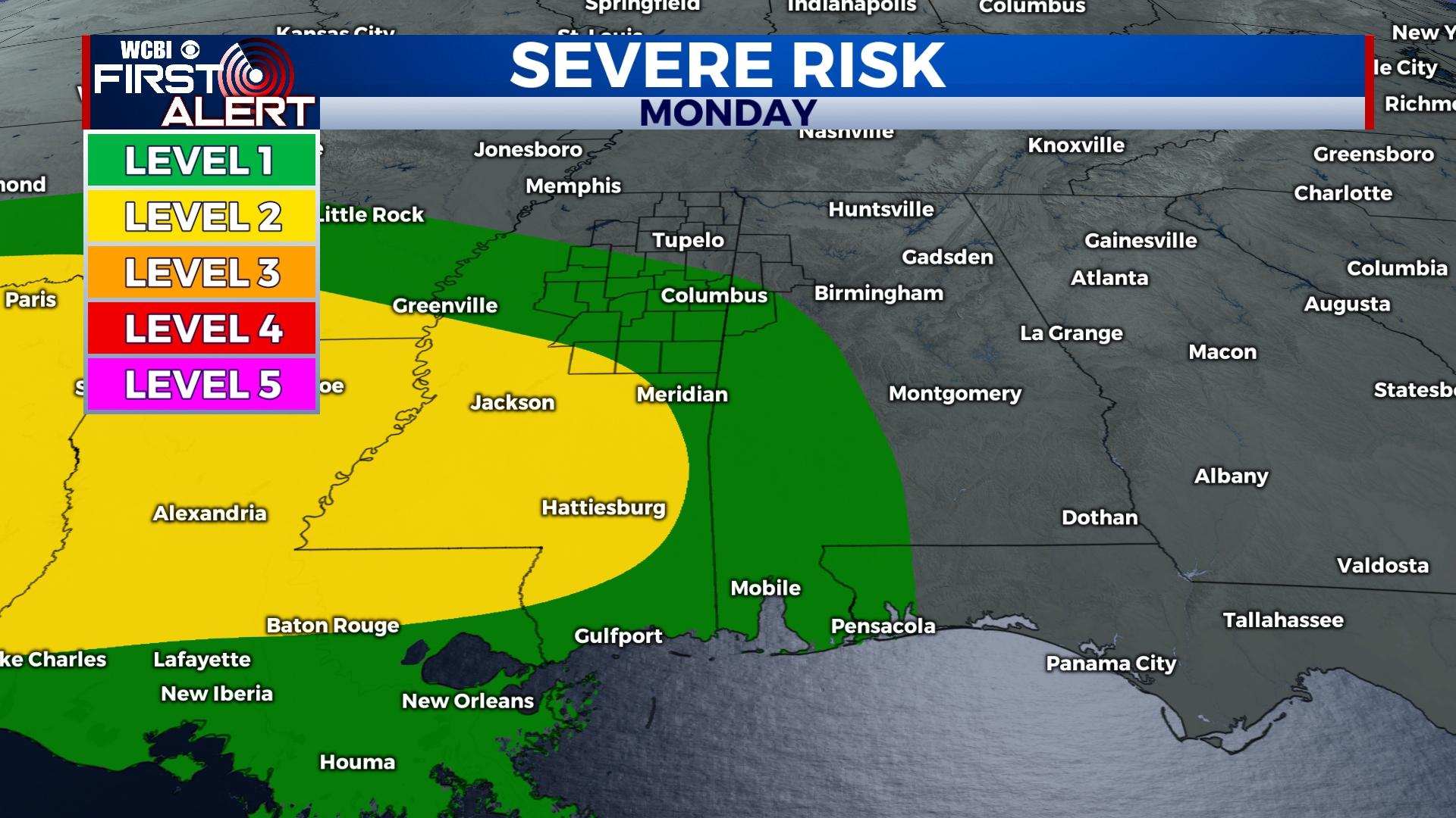
MONDAY NIGHT: Showers and storms will become widespread after midnight into Tuesday morning. Initially, storms will pose a risk of at least small hail and heavy rain. However, increasingly unstable air could promote an increasing severe threat toward daybreak Tuesday as storms linger.
TUESDAY: Morning storms should clear quickly after sunrise, but clouds are likely to stick around with potential for redeveloping showers.
WEDNESDAY: Yet another round of afternoon showers and storms could move through along the parent cold front. Environmental conditions suggest potential for strong to severe weather this time around as well, but stay tuned for updates on this forecast.
REST OF WEEK: Increasingly cooler conditions are expected. In fact, substantially below average temperatures are possible by the end of next week into the weekend.


