Daily storm chances this week
COLUMBUS, Mississippi (WCBI) – A summertime pattern means plenty of heat and humidity, as well as occasional storm chances.
MONDAY: With a mix of sun and clouds, highs reach the lower 90s with heat indices potentially exceeding 95 degrees. Isolated, locally strong storms are possible…especially across the northern third of the state in the afternoon. Some of these downpours may linger past sunset and drift slowly into northeast/central MS as well.
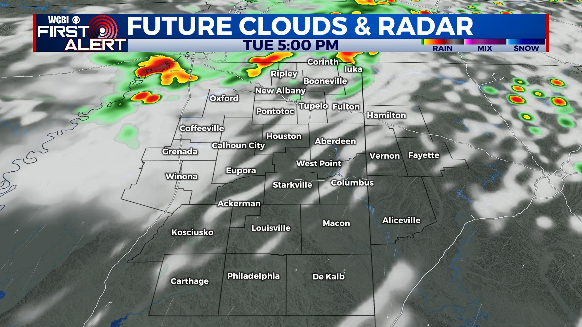
TUESDAY/WEDNESDAY: Once again, the preferred area to see afternoon storms will be the northern part of the state. Otherwise, highs in the upper 80s to near 90 degrees each afternoon is expected.
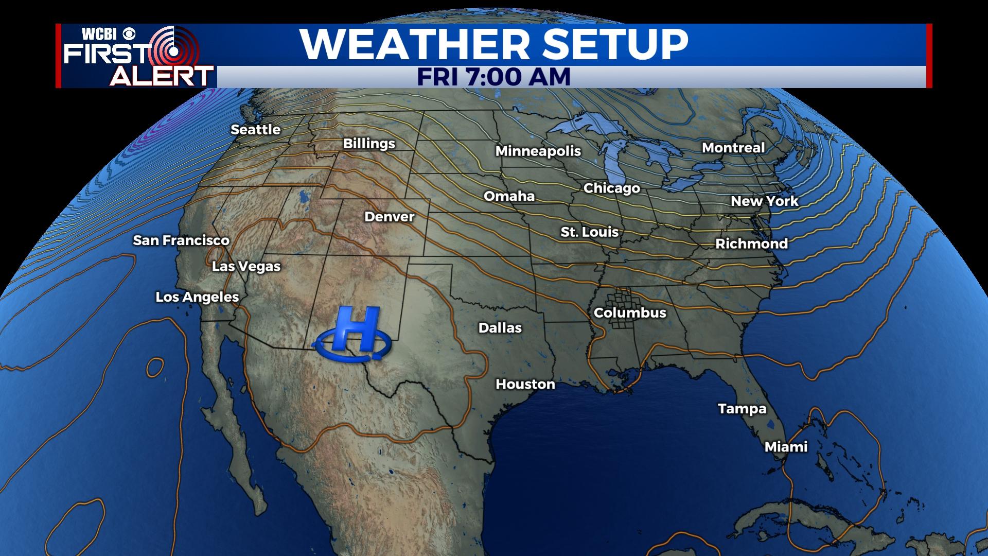
THURSDAY/FRIDAY: Scattered showers and storms appear more likely to end the work week as improved upper-air flow increases. As a result, highs may scale back into the mid and upper 80s. Locally stronger storms with damaging wind are also possible, especially if any thunderstorm clusters materialize.
WEEKEND: Saturday brings one last active day with scattered storms, but Sunday is looking to bringer lower humidity and quieter weather. Highs both days should reach the middle 80s, which is a bit below average for early to mid June.


