Decreasing clouds Friday, nice weekend ahead
COLUMBUS, Mississippi (WCBI) – Gradual clearing happens Friday ahead of a nice and mostly sunny first weekend of June.
FRIDAY: Showers stay likely this morning with temperatures in the low 70s or upper 60s. These should fizzle toward midday, and clouds should gradually decrease into the early afternoon. With increasing sun, afternoon highs should reach the lower 80s.
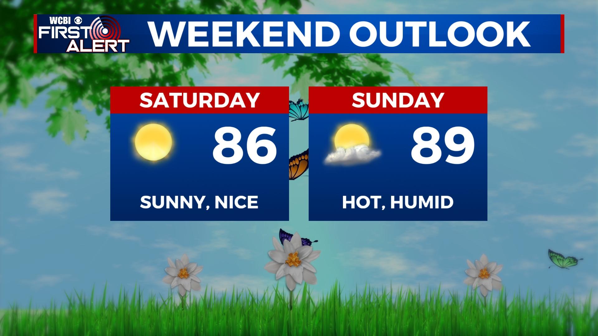
WEEKEND: Saturday still looks like the better day of the two. A nice start to the day with temperatures in the upper 50s is expected. Afternoon highs will top out in the middle 80s with full sunshine Saturday, though higher heat and humidity move in Sunday. Sunday’s high will reach near 90 degrees.
NEXT WEEK: Spotty rain chances start the week on Monday with highs in the lower 90s. Better chances for afternoon storms develop for the middle of the week as the upper-air flow becomes a bit more agitated. This should knock daytime highs back into the upper 80s by Thursday.
TROPICS: PTC 1 formed Thursday and is set to bring heavy rain and tropical storm force wind gusts to parts of southern and eastern Florida Friday and Saturday. No threat to the central Gulf Coast.


