Evening storm chance into continued heat alerts
COLUMBUS, Mississippi (WCBI) – Stay weather aware through the rest of the evening, as slow moving storms are likely.
THURSDAY NIGHT: Level 2 Slight risk will be in place through the rest of the evening. A SEVERE THUNDERSTORM WATCH is in place until 10p. Damaging wind and hail are going to be the highest concerns. Make sure to have ways to receive any warnings. Temperatures will be dropping into the middle 70s.

FRIDAY: Another day with heat and light rain potential. Afternoon high temperatures will be in the middle to upper 90s. Heat index values between 105 and 110. The HEAT ADVISORY will kick up again at 11a and continue through 8p. There is a lighter chance for showers and storms Friday, but not zero. Be aware of isolated rounds of rain throughout the afternoon and evening. Low temperatures will in the low to middle 70s.
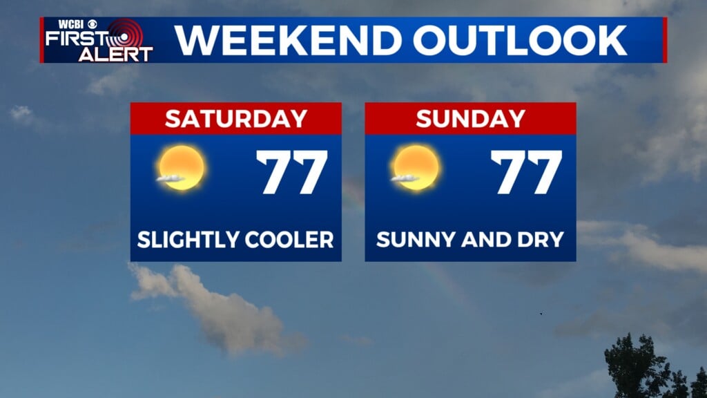
WEEKEND: Temperatures are staying Summer-time HOT, but hopefully avoiding the triple digits. Isolated rain chances will be possible through the mix of sun and clouds. High temperatures will be back in the middle to upper 90s. Lows in the low to middle 70s.