Feeling Warmer to End the Week
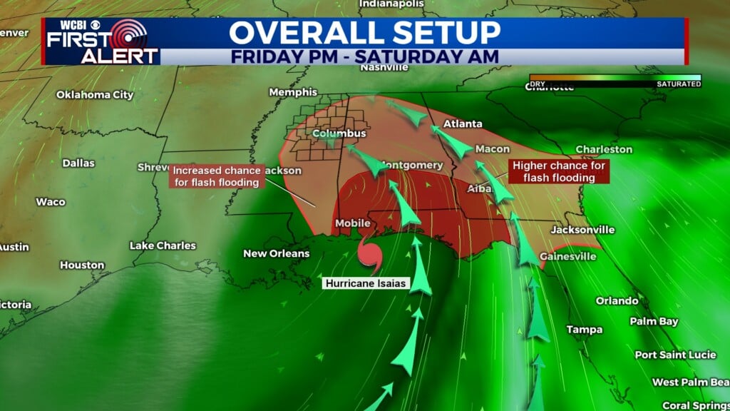
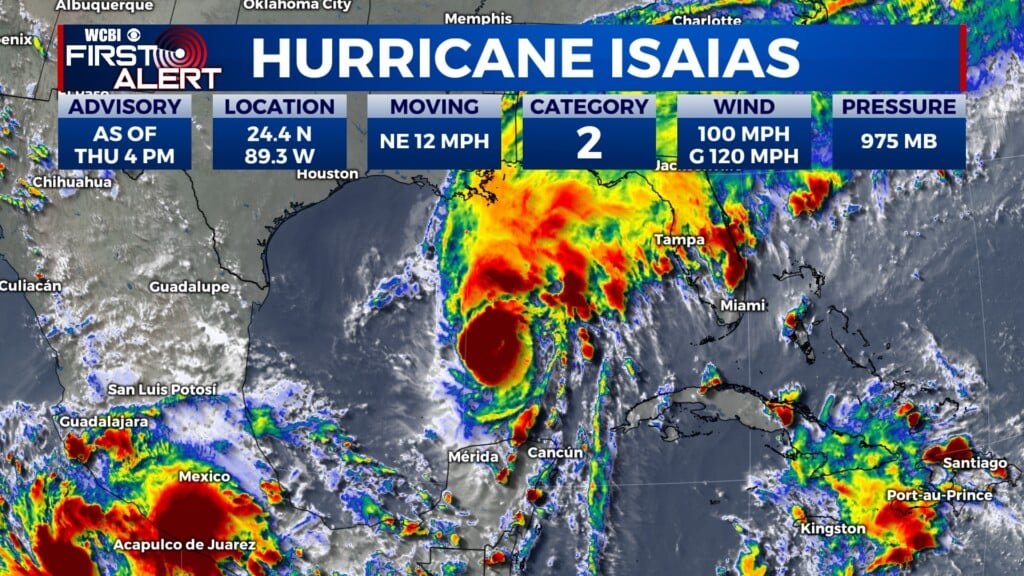
COLUMBUS, Mississippi (WCBI) — As the low-level flow pattern begins to shift, moisture from the Gulf and warmer heat indices comes back up to northeast Mississippi…and it isn’t leaving anytime soon.

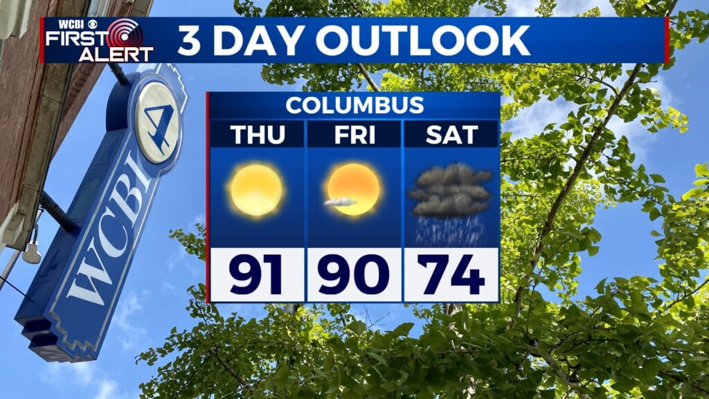
THURSDAY: A very nice August day is in store for today, with lots of sunshine and light winds out of the south. The high temperature will reach 95°, but it will feel a bit warmer than that, with some of us feeling heat index values up to 100°.
THURSDAY NIGHT: Skies will be mostly clear, with some scattered clouds moving through the area, especially as sunrise approaches. The overnight low will be 74°.
FRIDAY: More consistent flow from the Gulf will make things feel more humid that today. The high temperature will be 95°, with a heat index of 102°. Mostly sunny conditions will prevail, but there is a 20% chance for isolated showers and storms, especially in the afternoon and evening hours.
THIS WEEKEND: Southerly flow around the subtropical high in the Atlantic will cause the humidity to continue to ramp up as we get to the end of the week, making for increased heat stress that will persist into next week. This moisture is also enabling a chance for showers and thunderstorms every day starting tomorrow, with the strongest impacts currently looking to be on Monday and Wednesday.