PM showers more likely to start the week
COLUMBUS, Mississippi (WCBI) – Relative to previous days, rain coverage looks higher to start the week. However, drier weather returns later in the week.
MONDAY: The heat continues as highs top out around 90 degrees in the afternoon. Scattered downpours are likely to form in the afternoon hours with slow, erratic movement expected. A few storms are possible as well, but the main concern will be the localized torrential rain. Most of this activity will die out after sunset.
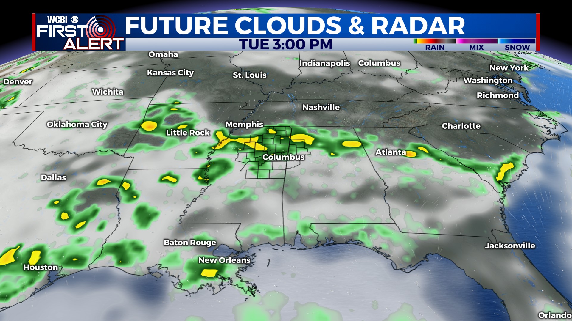
TUESDAY: A fairly similar forecast – highs will be in the upper 80s to near 90° with several afternoon downpours likely across the region.
WED/THU: Rain coverage will likely take a downturn with average highs hovering near 90 degrees both days.
FRI/WEEKEND: The long-awaited, albeit brief, break in the humidity is still in the cards! A larger trough of low pressure across the eastern half of the country will send a weak front through the region Thursday. This will bring slightly less hot but drier air into the region Friday and Saturday. Afternoon highs will back off several degrees, but at least it’ll “feel” a little better outside. Heat & humidity quickly bounce back by Sunday.


