Rain chances through Saturday
COLUMBUS, Mississippi (WCBI) – A rainy end to the week and beginning of the weekend. Dry and hot conditions continue next week.
FRIDAY NIGHT: Scattered showers and storms will continue across NE MS and western AL through the evening. Some could become strong to severe, as a Level 1- Marginal severe weather risk is in place across our coverage area. Gusty wind and hail are the highest concerns. Be ready for rain delays for any football games this evening. Temperatures will be dropping into the lower 70s overnight.

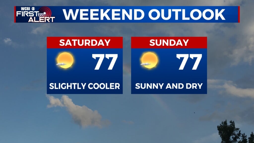
SATURDAY: Scattered chances for showers and storms will return for the first part of our weekend. Keep the rain gear handy! If you have plans to go to the Ole Miss game Saturday evening, keep the rain risk in mind. Afternoon high temperatures will be in the low to middle 90s, despite the rain potential. Overnight lows will drop into the lower 70s.
SUNDAY: Much drier but also warmer. Afternoon high temperatures will be back to the middle 90s for our Sunday afternoon, with lots of sun. Low temperatures return to the lower 70s.
NEXT WEEK: Summer is still around. High temperatures will stay in the middle to upper 90s in the afternoons every day next week. Most will stay dry and sunny, few will experience isolated rain. Overnight conditions will be mild and muggy, in the low to middle 70s.