Rain is making a quick return
COLUMBUS, Mississippi (WCBI)- Today consisted of humid air, record breaking temperatures, and continued cloud coverage. Rain chances return for the end of the week and into the weekend.
THURSDAY NIGHT: There are going to be mild temperatures again tonight, in the lower 60s. Cloud coverage will gradually fill back in through the overnight hours. Rain chance tonight is light, but not impossible.
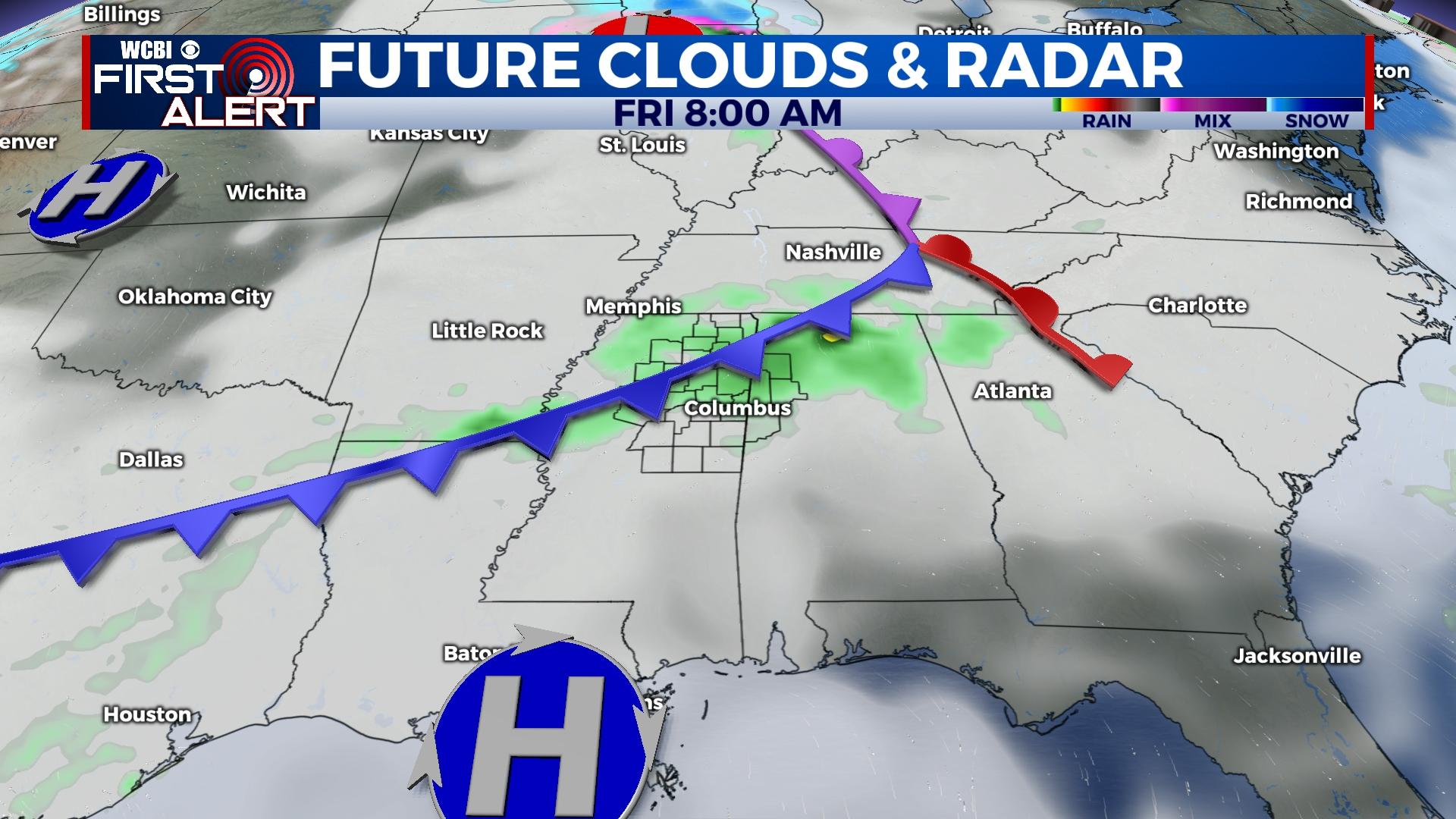
FRIDAY: High temperatures are going to be slightly cooler tomorrow, within the low to middle 70s. Rain chance jumps back up to 50% of seeing showers throughout the day. Cloud coverage will be mostly cloudy to overcast. Overnight low temperatures will fall into the upper 50s. A cold front is expected to pass through and help cool the weekend off slightly.
SATURDAY: The temperatures will continue to be in the low to middle 70s. Rain chances continue to bring in showers, percentage sticks to 40%. Overnight low temperatures will hit the upper 50s again.
SUNDAY: The cooler temperatures from the cold front occur on Sunday. High temperatures will reach the middle 60s. Cloud coverage maintains to be mostly cloudy, but rain chance looks to lighten up on Sunday to 20%. Overnight low temperatures will reach the lower 50s.
NEXT WEEK: Rain chances are expected to continue. There is a severe weather risk Tuesday night and into Wednesday that the WCBI weather team is keeping an eye on. Temperatures are looking to stay a little cooler, in the middle to upper 60s for majority of the week. Next Thursday looks like it may even begin to get cooler.


