Storm Chances Back Sunday And Early Next Week
COLUMBUS, Mississippi (WCBI) – An increase in showers and storms as we close off this week and early next week. Temperatures in the meantime will stay close to 90 during this period until we dry up late next week.
TONIGHT- A batch of storms out by the Mississippi Delta will creep its way east to impact our northwestern counties this evening, before they fade away by the night time hours. Expect our clouds to stay overnight with lows dropping close to 72.
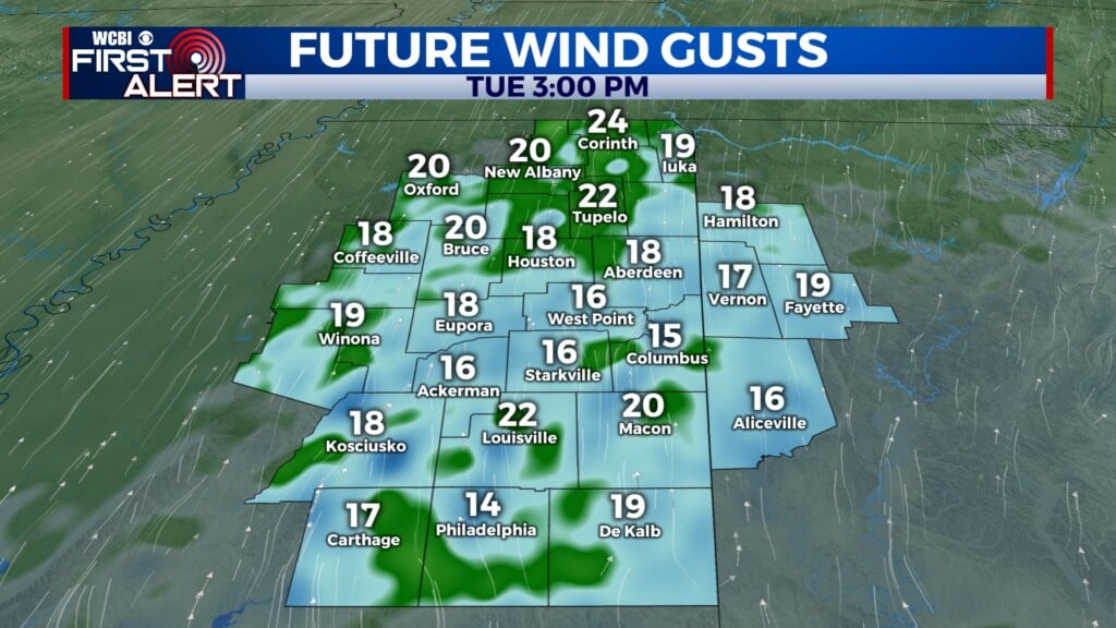
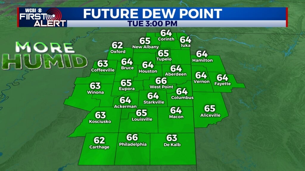
SUNDAY- Although we stay dry early, expect widespread showers and storms to impact our area starting in our northern counties right around lunch time. These storms will continue to march down to the south throughout the afternoon and early evening hours with the main risk being heavy rain and strong wind. Highs will approach near 89.

NEXT WEEK- Our stormy pattern will continue into early parts of next week with temperatures staying near the upper 80s to near 90. A cold front is expected to come in by Tuesday, and in return, we will begin to start drying off starting on Wednesday but especially as we head into next weekend where temperatures will also begin to heat up!
-Michael Sokell