Thunderstorms Lingering; Cooler Temps
COLUMBUS, Mississippi (WCBI) — The severe thunderstorms that have been rolling through northeast Mississippi all night long will be mostly out of our area before noon, making for some more seasonable conditions this afternoon and into the weekend.
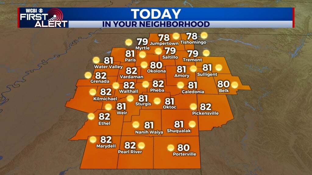
FRIDAY: Lingering showers and thunderstorm cells should be mostly out of our area before noon. However, as we heat up over the day to our high temperature of 95°, the overall warm and moist environment could lead to some more isolated storms forming in the afternoon hours, although the chance of anything forming is pretty low. The heat index is expected to peak around 105°, and mostly sunny conditions will prevail through the afternoon hours, with winds out of the north-northwest.

FRIDAY NIGHT: It will be a very comfortable night, with mostly clear skies and a low temperature around 71°. It should also feel a lot less humid.
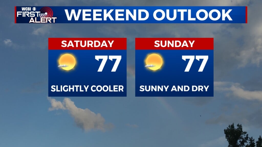
SATURDAY: The day will start off nice and sunny, with calm conditions. As we warm up to the high of 97°, clouds will start to build into our area in the afternoon, helping to cap our heat index values around 101° at peak heating. There is a 20% chance of showers and thunderstorms moving through in the evening hours, with winds out of the north.

SUNDAY: Abundant sunshine is in store! The high temperature will be 95°, with light winds out of the north-northeast. No rain is expected for Sunday, but those chances for showers will come back for the start of the work week.