Unseasonably warm weather continues
COLUMBUS, Mississippi (WCBI) – SUMMARY: Temperatures stay 5-8 degrees through the end of the work week before TRUE, fall air arrives for the weekend.
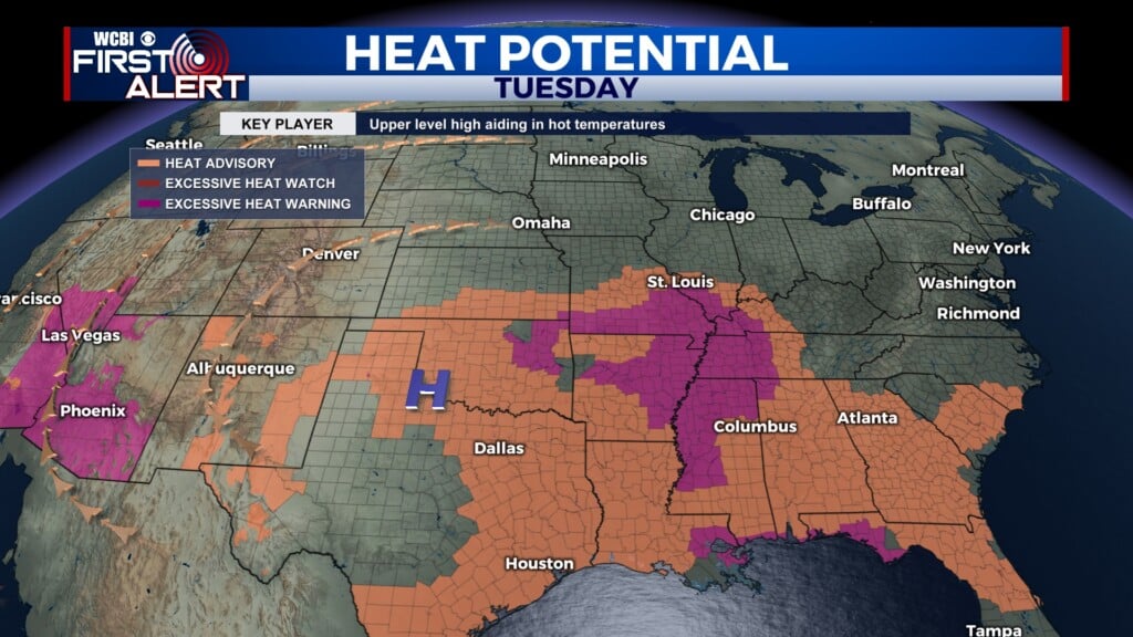
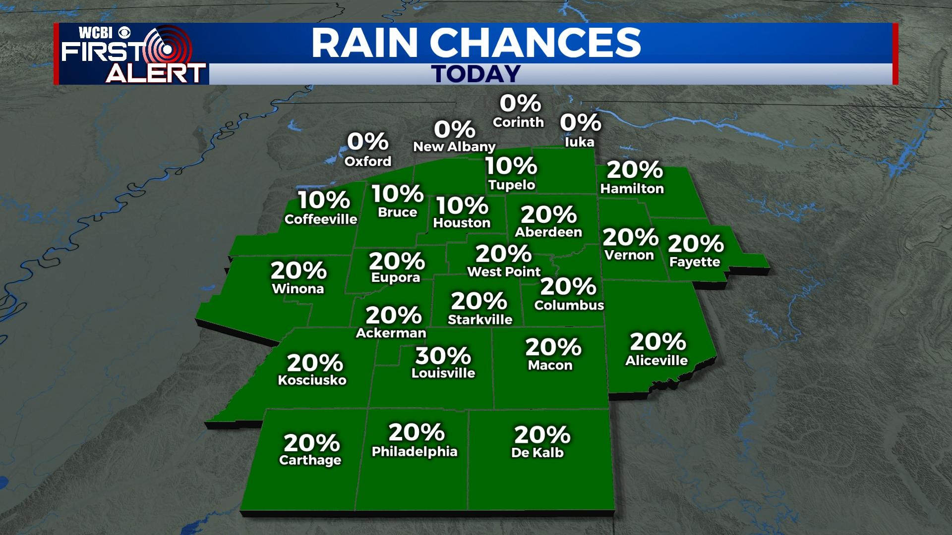
TUESDAY: A weakening cold front brought an increase in clouds and even brief showers Monday. That front will lift northward as a warm front today, ushering in more warm, humid air to the region. Daytime highs today will reach the middle 80s with slightly less of a breeze. Heat indices could approach 90 degrees in some spots.
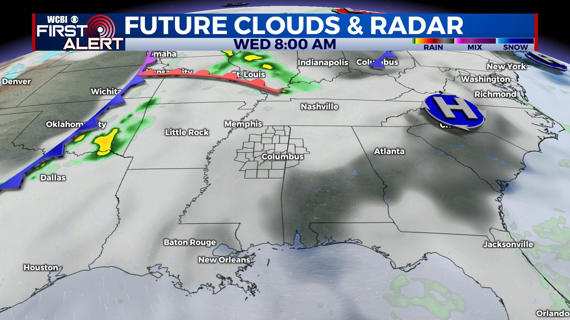
WEDNESDAY/THURSDAY: Partly cloudy and WARM as highs stay in the mid to upper 80s.
FRIDAY: A stronger front will approach the region, and clouds will increase late in the day as a result. Scattered showers become possible in the evening hours, but the rain intensity and coverage should not be significant. Highs will stay in the 80s but will fall quickly into the low 60s or upper 50s by Saturday morning.
SATURDAY: Once clouds and showers clear out through the morning, the rest of the day is shaping up to be sensational! Daytime highs will hold in the 70s with a fresh northwest breeze – a TRUE taste of fall! The MSU/Bama match-up looks quite cool with temperatures generally in the 50s!
SUNDAY/MONDAY: Fall weather continues with highs in the 70s and morning lows in the upper 40s.