Wintry Mix begins in the AM Hours
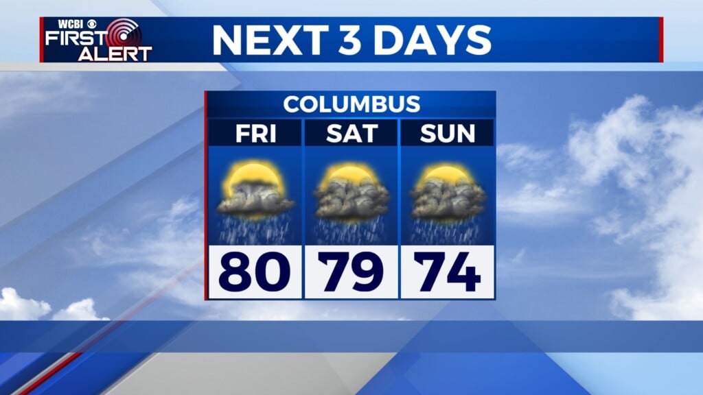
COLUMBUS, Mississippi (WCBI) – Ending our Friday with calm conditions before the winter storm begins early Saturday morning. Grab everything else you may need before tomorrow.
FRIDAY NIGHT: It is going to be a cold night as the cold air from the north is here. Lows will fall into the upper 20s to low 30s overnight. During the early morning hours, the northern counties will begin to see scattered wintry mix with the potential for snow, sleet, and freezing rain.
SATURDAY: During the early morning hours, the northern counties will receive a wintry mix. Timing as of right now looks to start at 2-3 AM. This will continue in the north for most of Saturday with large amounts of precipitation. Power outage is very likely. Driving is not advised. By the afternoon, more widespread rain and wintry mix of sleet and freezing rain with move more to central Mississippi as we head into the overnight hours.
SAT. NIGHT/SUNDAY: This night and Sunday will be the most precipitation we will see. Saturday night and Sunday night sleet, freezing rain, and just rain with be across most of our coverage area. We will continue to see this heading into the overnight hours as well. As far as ice accumulations, the northern counties have the possibility of receiving 1-2 inches of ice. The impacts this will cause are strong. Driving is not recommended. As the low pressure system moves east into Alabama, very cold air will follow behind it, increasing more of our wintry mix coverage area, especially early afternoon and on. By Sunday evening the last of the winter storm should be wrapping up with very cold temperatures below freezing following behind it. Stick with us all weekend for updates!