Stormy Thursday before a drier weekend
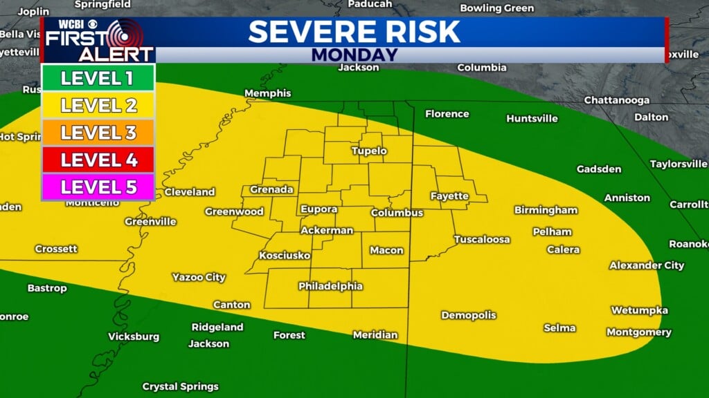
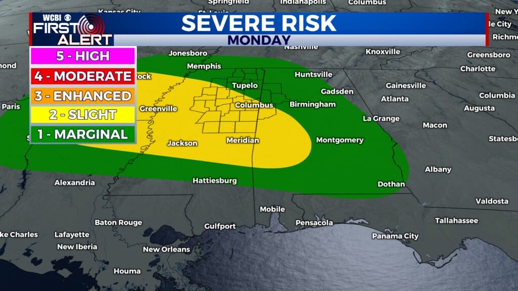
COLUMBUS, Mississippi (WCBI) – Watching for a line of storms to move through early today into the mid day hours. We are under a level 1/5 marginal severe risk, and the main concern today would be a few storms capable of producing damaging winds.
THURSDAY: A line of storms will take its time moving into NE MS, likely entering the state between 3-5 am. It will be slow to make it’s way southward, crossing through Tupelo around 8 am and the Golden Triangle around 10am-12pm. This is a little later than previously expected, so watch out as you go about your day! Highs will be limited to the mid and upper 80s, with a round of scattered storms likely after the main event this AM.
FRIDAY: Some patchy fog is likely in the morning hours, which will dissipate as the sun warms us up. Speaking of warm, we will be very warm Friday, with highs 90-93 degrees and heat index values close to 100, especially near the delta. Afternoon storms are likely, but will be few and far between. This random shower/storm chance will be in the forecast for the next week at least.
WEEKEND: Very hot! By 8-9am on Saturday and Sunday we will have heat indexes in the 90s, reaching to 100+ in the afternoon. Hot days tend to produce random showers when you have the amount of humidity we will have in place, so keep in mind that the odds of you getting rained on may be much lower, but it is still possible. Someone will see rain every day, just not the majority of us. Drink lots of water and take advantage of shade if outside! We are on the edge of heat stress concerns for the next few days.


