Stormy End to Week
COLUMBUS, Mississippi (WCBI) – We are ending the week on a stormy note. Have multiple ways to receive watches and warnings!
WEDNESDAY NIGHT: A few showers and thunderstorms are possible overnight, with temperatures only dropping into the mid-70’s. Winds will be breezy out of the south, with gusts up to 20 mph possible.
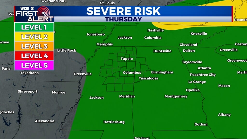
THURSDAY: Remnants of Tropical Storm Arthur will move through our area through the day tomorrow. Storms are likely from the late morning hours to the evening hours, some of which could be severe. Right now, our entire area is under a Level 1 out of 5 risk for severe weather. The main concerns are strong winds and the potential for a couple of spin-up tornadoes. Flash flooding is also a concern, especially for our southern counties. High temperatures will be in the mid-80’s.

FRIDAY: A cold front will move across our area Friday morning, bringing the chance for more showers and storms. This will bring another potential for some strong to severe thunderstorms, with the timeline being late morning through the afternoon. Concerns will these storms will again be strong winds, flash flooding, and potentially a brief spin-up tornado. High temperatures will be in the mid-80’s.