Weekend storm chances
COLUMBUS, Mississippi (WCBI ) – Higher chances for showers and storms through the weekend and into next week. Have your rain gear ready!
FRIDAY NIGHT: A calm and dry night. Conditions continue to be warm and muggy. Overnight lows will be in the low to middle 70s.

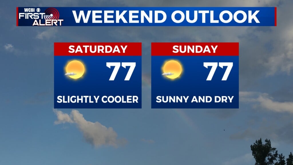
SATURDAY: Most of the day will be dry and sunny. Afternoon high temperatures will climb into the middle 90s. The heat index will be near 105. By the evening, showers and storms will move in from the North and move South through the overnight hours. Some could become strong to severe. There is a split between Level 2 and Level 1 out of 5 for severe weather threats, with damaging wind being the highest concern. The boundary will begin stalling early Sunday.
SUNDAY: Lots of moisture locked in place. Rain chance will continue through the end of the weekend. High temperatures will be in the lower 90s. Some storms could become strong to severe, with the entire area in the Level 1 out of 5 risk. Again, damaging wind will be the highest concern.
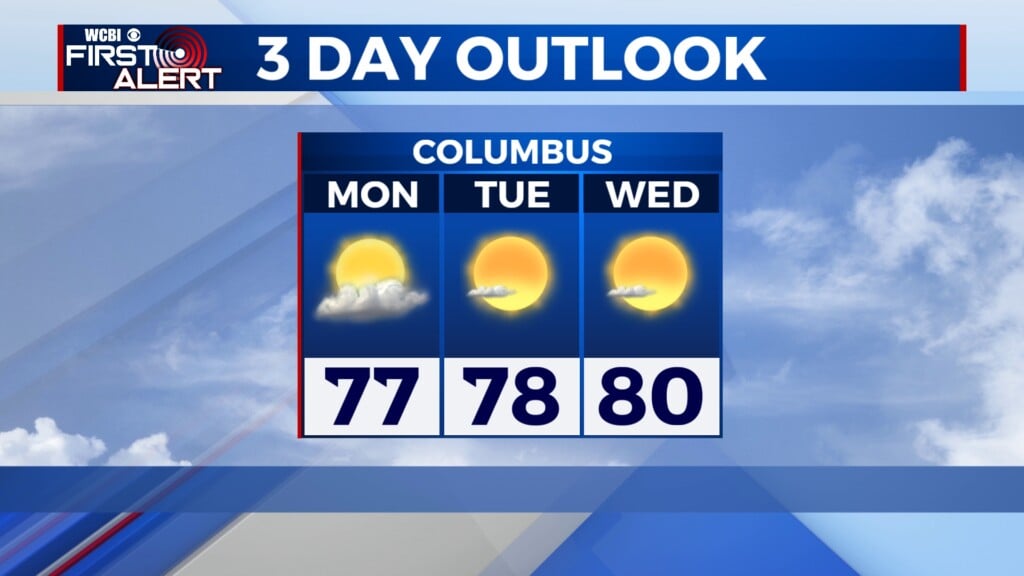
NEXT WEEK: With the boundary stalled in the South, rain chances will carry the heaviest through the first half of the week. Returning to the Summer-time pattern with isolated rain by the second half. Temperatures Monday through Wednesday are expected to be “slightly”cool, in the upper 80s.