Extreme Heat To Start The Week
COLUMBUS, Mississippi (WCBI)- After a wet end to the week, temperatures ramp up quickly making for extremely hot conditions to start off this week!
TONIGHT: Cloud coverage will increase overnight from the north, but otherwise expect fairly quiet conditions. Lows dropping down into the mid 70s.
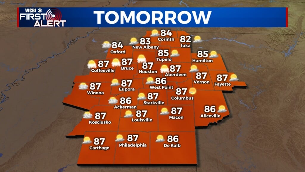
TOMORROW: A few isolated showers will be possible to start off Monday morning, but during the afternoon much of the cloud cover will clear away and temperatures really heat up! Highs are expected to reach the upper 90s and a Heat Advisory will take place as heat index values approach near 110 area wide….Yikes!

HEAT ALERTS CONTINUES: Tuesday will be very similar to Monday as another heat advisory will take place. Highs will approach near 100 and heat index values may even surpass the 110 mark in some spots! A “cool” front will push through the area early Wednesday morning which will bring some cloud coverage to the area, but only dropping temperatures down from the upper 90s to the mid 90s for Wednesday afternoon.