Fall (Finally) Got the Memo
COLUMBUS, Mississippi (WCBI) — With the autumnal equinox marking the start of fall today at 7:05 p.m., temperatures will finally start to become more seasonable, not even reaching the 90s by the end of the week. However, those slightly cooler temps are still a couple of days away — things will still be very warm outside for today.
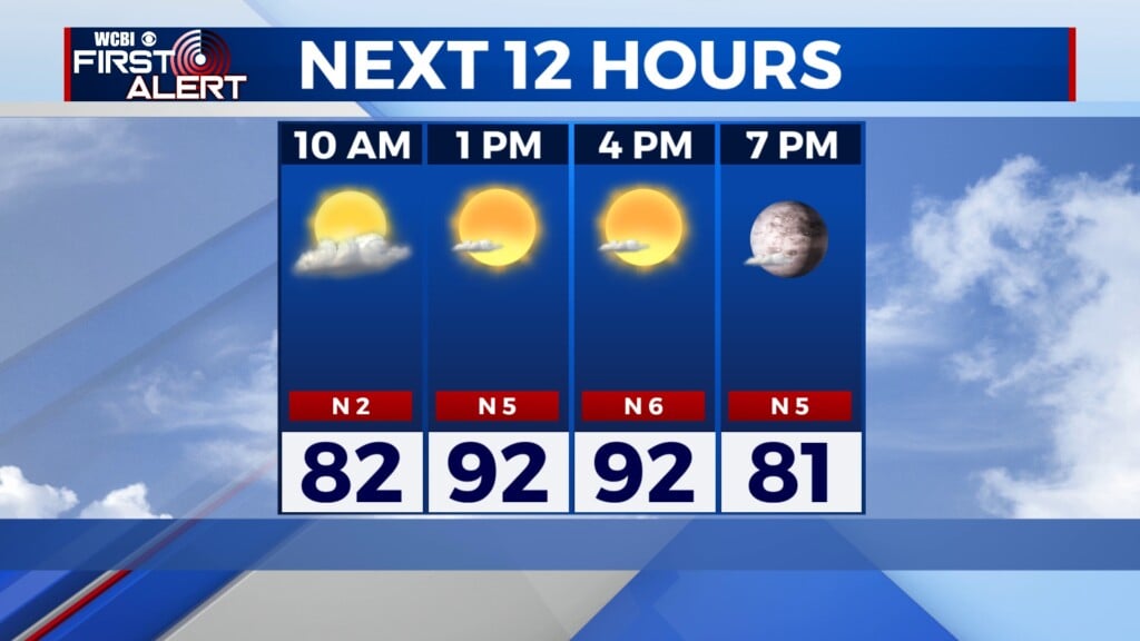
TUESDAY: The high temperature for today is 95°. With some moisture present in the atmosphere, the heat index could get up to about 100° this afternoon. There will be plenty of sunshine shining through today, especially in the morning and early afternoon hours. However, a Level 1 Marginal risk for severe storms is in effect for the southeastern portion of our area, around the cold front that has been moving across the southeastern U.S. Any storms that move through will be isolated, but they do bring a very slim threat of damaging wind gusts. Sustained winds are out of the north-northeast at 5 mph.


TUESDAY NIGHT: The storm threat should be all out of our area by the later evening hours. Mostly clear skies will prevail through the night. The low temperature will be 70°. Winds will be out of the north at 5 mph.
WEDNESDAY: With fall in full swing, those temperatures are finally starting to cool down (a bit). Tomorrow’s high will be around 93°, but it will be a bit breezy at points. Winds will be out of the north at 5 to 10 mph. Skies will be bright and sunny all day long.