Hurricane Isaias Impacts Imminent
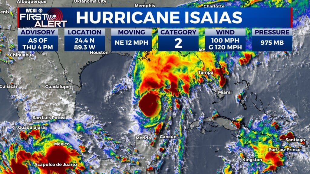
COLUMBUS, Miss. (WCBI) — While the daytime hours today should be warm and relatively calm, Hurricane Isaias, a Category 3 storm as of publication, is moving its way north, likely making significant impacts on our area overnight tonight and through much of the day tomorrow. As of publication, a Tropical Storm Watch is in effect for Lowndes, Clay, Oktibbeha, Noxubee, Winston, Kemper, Neshoba, and Pickens counties until further notice.

Forecast
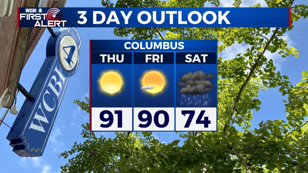
FRIDAY: Today’s high temperature is around 87°. The morning will start with mostly sunny skies. However, cloud cover will quickly build into our area in the early afternoon, making for overcast conditions later on. Daytime winds are 5 to 15 mph out of the east, with gusts up to 20 mph. While some showers along the outer bands of Isaias are possible in the late afternoon, we’re not expecting any significant impacts in our area until at least after sundown.

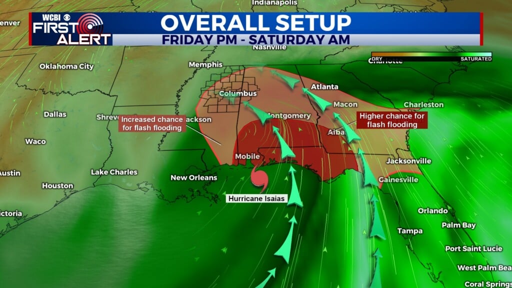
FRIDAY NIGHT: As Hurricane Isaias approaches the Gulf Coast, showers are likely in our area starting tonight in the evening hours. A Flood Watch goes into effect across most of our area starting at 7 p.m. Later overnight, heavy rain is likely at times as the tropical cyclone makes its way northward. Winds will be out of the east at 15 to 20 mph, with gusts up to 30 mph. The overnight low temperature will be around 61°.
SATURDAY: Rain showers and windy conditions are expected for most of the day tomorrow. Rainfall could become locally intense at some points as the eyewall of the cyclone tracks northward. Winds will be out of the north-northeast at 15 to 25 mph. However, winds will shift southeasterly as the center of the storm passes over our area. Wind gusts could also reach 35 mph. Toward the evening, as Hurricane Isaias continues to weaken and move north, these impacts will decrease — so we may get a break from the rain before the day is out.

After the Storm
A shower or two is possible in some lingering bands of Isaias. However, we are mostly just expecting partly cloudy skies for Sunday. Temperatures will start to rise again, with a high around 84°. Once we get into the next work week, we should return to the same hot, dry weather patterns we saw for much of this past week. Highs will be sitting close to the 90° mark, with lots of sunshine.
Hurricane Isaias Impacts
Anywhere from one to four inches of rain could fall during this event, with locally higher or lower amounts possible. Given how dry things have been recently, this increases the risk of flooding and flash flooding in our area, as the ground may not be able to absorb all the rain quickly enough. Additionally, in areas to our south and east (and especially in the Florida Panhandle), there is an increased risk of tropical cyclone tornadoes, as Hurricane Isaias is likely to encounter significant wind shear as it makes landfall. Along the coast, there is a significant risk of rip currents as well.


Your First Alert Weather Team will be tracking this cyclone as it makes landfall and progresses northward across the Southeast. Be sure to tune in for all the latest information during all of our regular news broadcasts today. We will also have LIVE updates at least every hour once Isaias makes landfall. Tune your television to channel 4 over the air, or watch our internet livestream here.