Cold front brings fire danger
COLUMBUS, Mississippi (WCBI) – The first real cold front moves in Friday morning!
THRUSDAY NIGHT: Calm conditions tonight. There is a continued chance for patchy smoke across the sky from regional fires. Low temperatures will drop into the lower 60s.
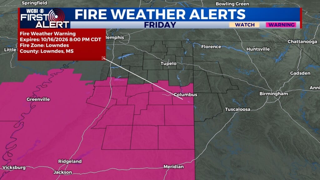
FRIDAY: A strong, dry cold front will be moving into the Deep South for the end of the week. This will bring in several changes to NE MS and western AL. The first obvious change will be the high temperatures. Afternoon highs will likely only reach the upper 70s to lower 80s, if we even reach that. The second obvious change will be the wind speeds. Sustained winds will be 15-20MPH, with gusts up to 30MPH. With dry conditions and fast wind speeds, anything can cause a spark. A RED FLAG WARNING is in place Friday from 9a-8p. No fires Friday or into the weekend, especially if your county is already within a burn ban. The third obvious change will be the overnight low temperatures. Air from the North will push into the Deep South, bringing overnight lows into the middle to upper 40s.

WEEKEND: Fast wind speeds continue into the weekend. Saturday has a FIRE WEATHER WATCH in place from 11a-7p, due to wind gusts up to 25MPH and continued dry conditions. High temperatures will be in the upper 60s to lower 70s for the weekend. Nice and Fall-like. Lows will maintain in the middle to upper 40s.