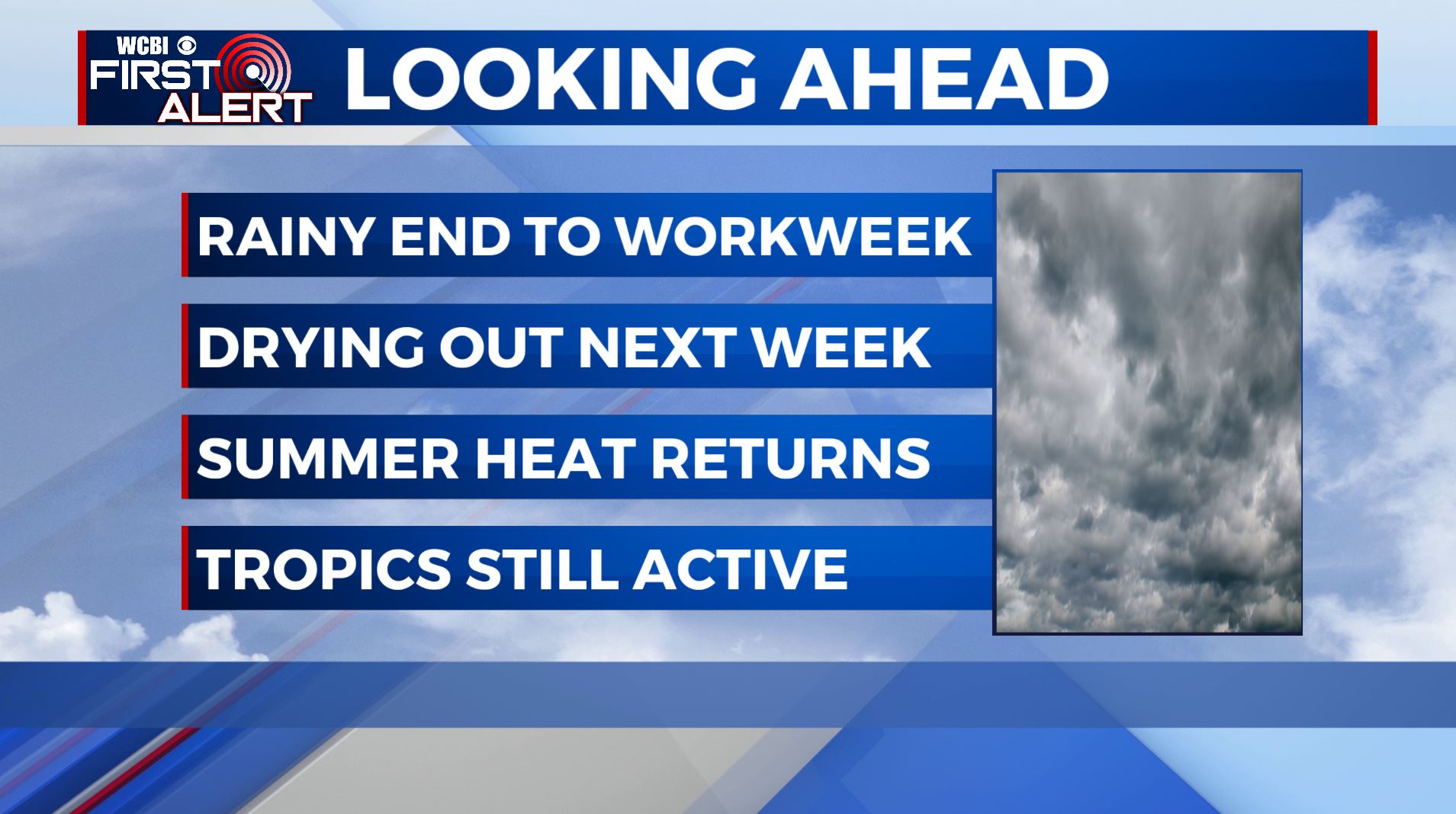
Another Stormy Saturday Ahead
SATURDAY NIGHT: Scattered showers and thunderstorms will give way to a mostly cloudy sky overnight. Overnight lows in the mid-70s. Chance of rain: 40%.
SUNDAY: A few isolated showers and thunderstorms will be possible; otherwise, expect a partly cloudy sky with afternoon high temperatures in the low-90s. Chance of rain: 30%.
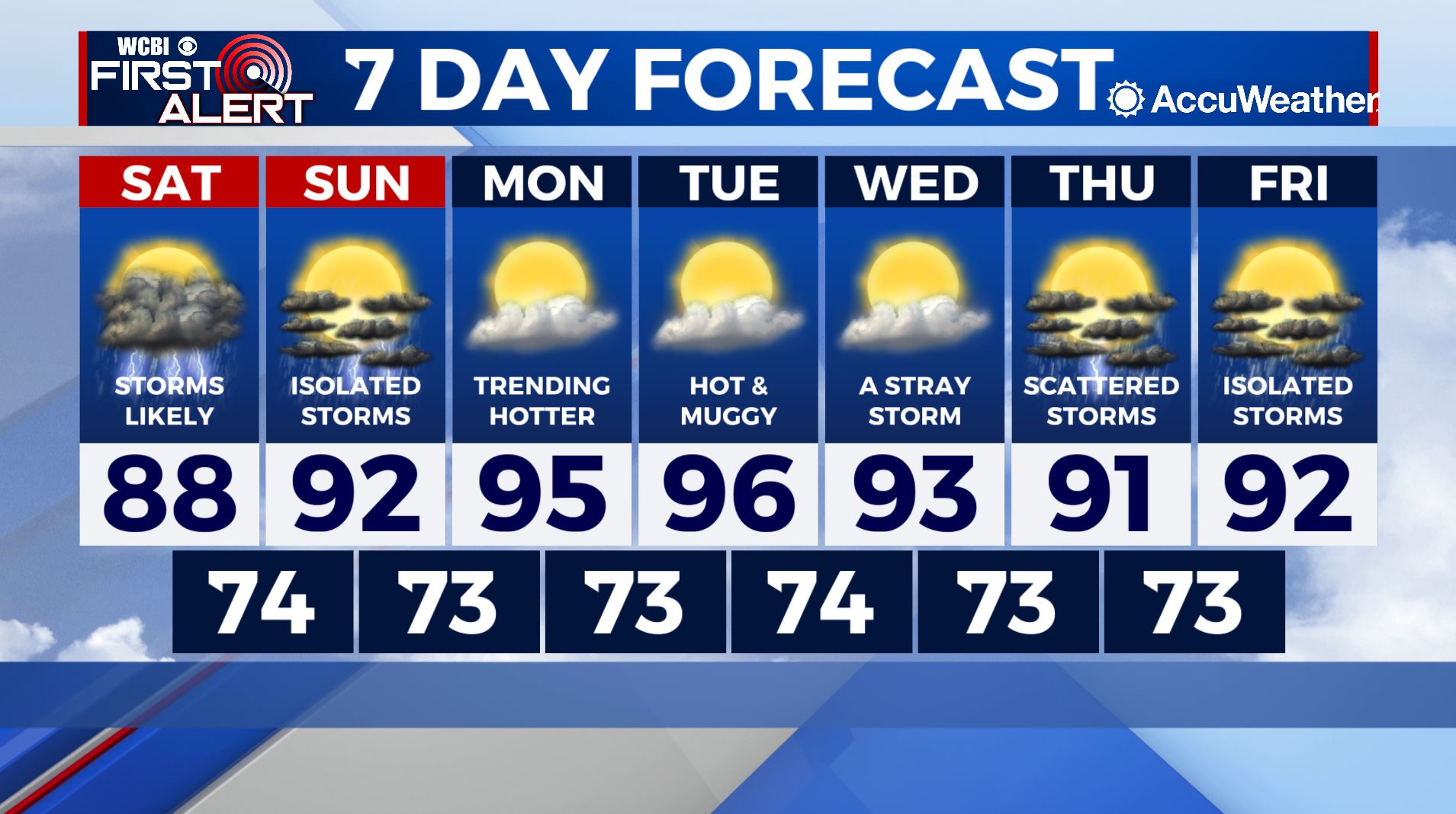
NEXT WEEK: High pressure will dominate the region to start the week and temperatures will respond accordingly! Afternoon highs will reach the middle-90s Monday through Wednesday with heat indices into the low-100s. Take proper precautions to stay cool and hydrated! Our best chance of rain next week arrives Thursday with a 40% chance of an afternoon shower or thunderstorm.
Follow Meteorologist Lance Blocker on Facebook and Twitter or via reach out via e-mail at LBlocker@WCBI.com!


