Cold front approaches, finally a chance for rain
COLUMBUS, Mississippi (WCBI) – An approaching front brings a chance for rain Thursday into early Friday. Then, chilly air arrives for the weekend.
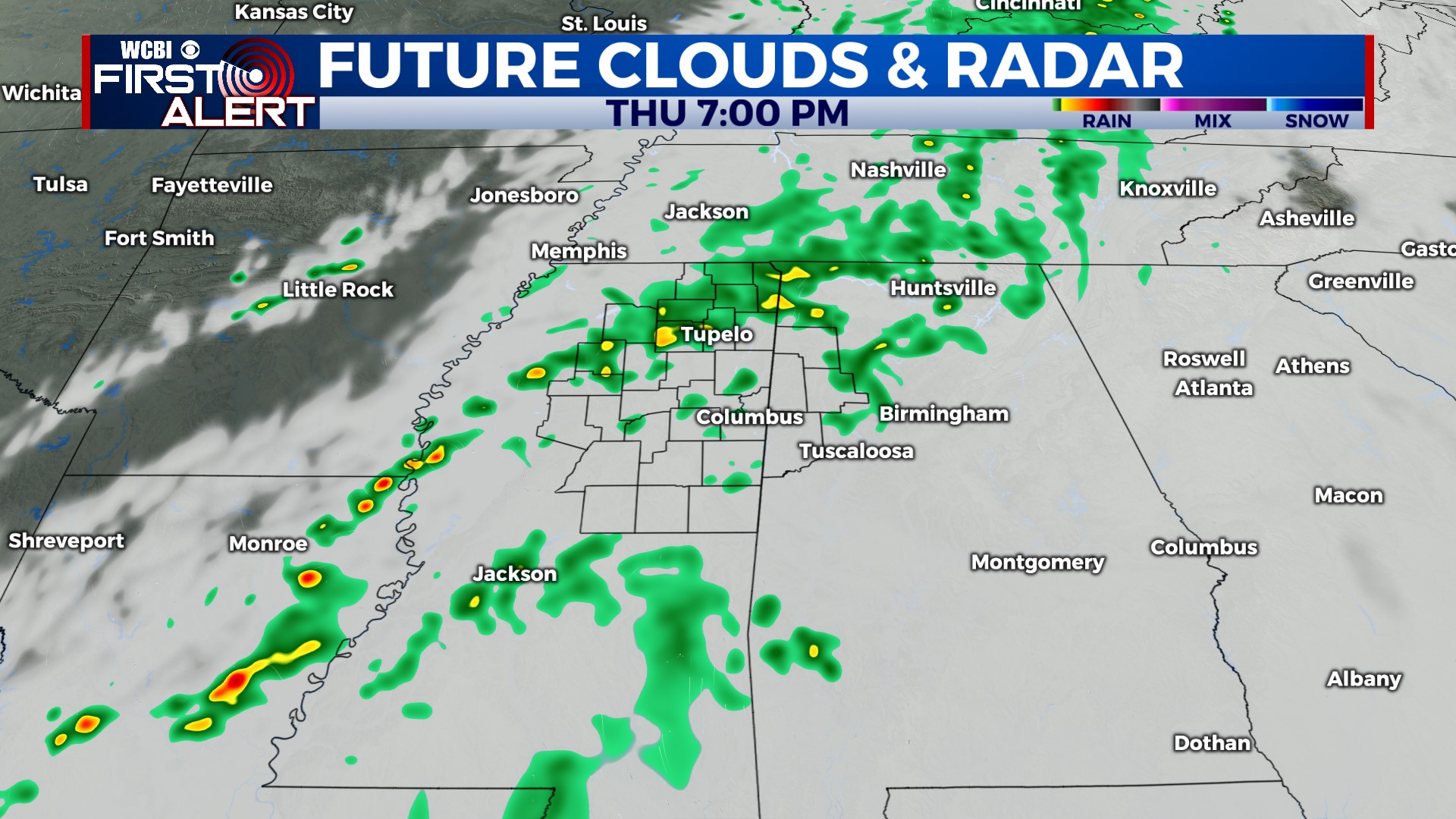
THURSDAY: Expect a mainly cloudy sky with highs into the middle 80s w/slightly cooler air toward I-55. While some passing, isolated showers are possible through the day, a better chance for rain moves in after sunset.
THURSDAY NIGHT: Being cautiously optimistic, we’ve upped the rain chance a bit this evening. We expect scattered showers for a good portion of the night, becoming briefly heavy in spots. Rain amounts still look to be on the light side, generally under one half inch.
FRIDAY: A few leftover showers are likely to start the day, but gradual clearing is expected by afternoon. Highs should top out in the low 80s with eventual sunshine. Breezy weather and falling temperatures are likely late-day into the evening!
WEEKEND: Each starts in the 40s, though Sunday is looking to offer the coolest weather. Highs Saturday afternoon barely reach 70° before temperatures fall into the lower 40s by daybreak Sunday.
NEXT WEEK: A quick rebound in temperature is on tap Monday. We’ll be back in the low to mid 80s Mon-Wed.


