Cold Saturday morning, warming up by next week
Much cooler air has moved into the area now that another cold front has passed, but it won’t last long. Warmer weather will return to the area by next week, as will some limited chances for showers.
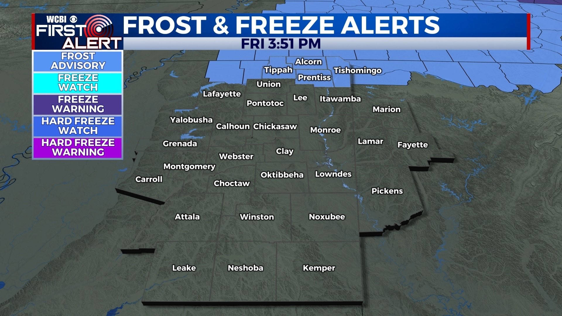
FRIDAY NIGHT: Mostly clear tonight with temperatures falling into the upper 30s and low 40s by sunrise. Some patchy frost is possible, especially north of I-22. Winds will remain generally calm.
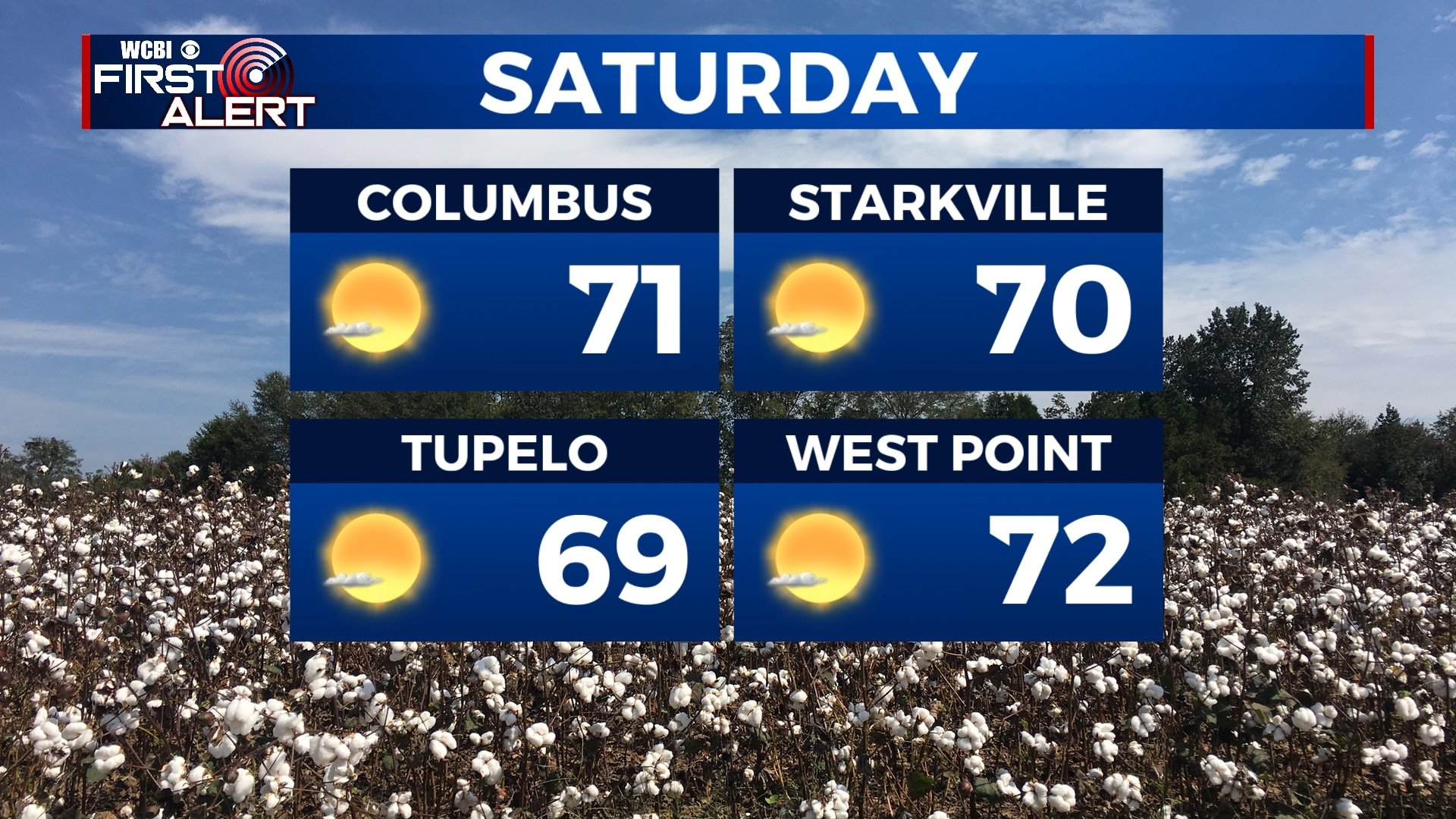
SATURDAY: Saturday is looking picture perfect as we remain under a mostly sunny sky. We’ll wake up quite chilly, but temperatures will warm into the low 70s by the afternoon.
SUNDAY: We’ll be a bit warmer on Sunday with highs in the mid to upper 80s. Mostly sunny to partly cloudy skies will continue through the day.
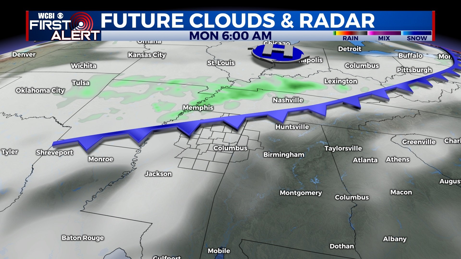
MONDAY-WEDNESDAY: Temperatures will continue to warm up through the week as highs return to the low and mid 80s. A cold front will approach the area through the week, but won’t quite make it through. We’ll remain under a mix of sunshine and clouds with a low chance of some showers each afternoon. Overall, we aren’t expecting any major rain. Morning lows will be near 60.
THURSDAY-FRIDAY: We’ll remain warm going into the end of the week as skies remain partly cloudy. Highs will be in the mid 80s with overnight lows in the 60s. There is a 30% chance for showers on Friday as a cold front approaches.
Follow WCBI Weather on Facebook, Twitter, and Instagram


Leave a Reply