Cool air pause for the end of the week
COLUMBUS, Mississippi (WCBI)- After a couple of warm and almost hot days, the end of the week will be cooling off. Rain chance will continue through the weekend and the next week.
THURSDAY NIGHT: Partly cloudy to mostly cloudy conditions will be sticking around tonight. Temperatures are going to be dropping off a little further than where they were last night, overnight low temperatures will be in the lower 60s.
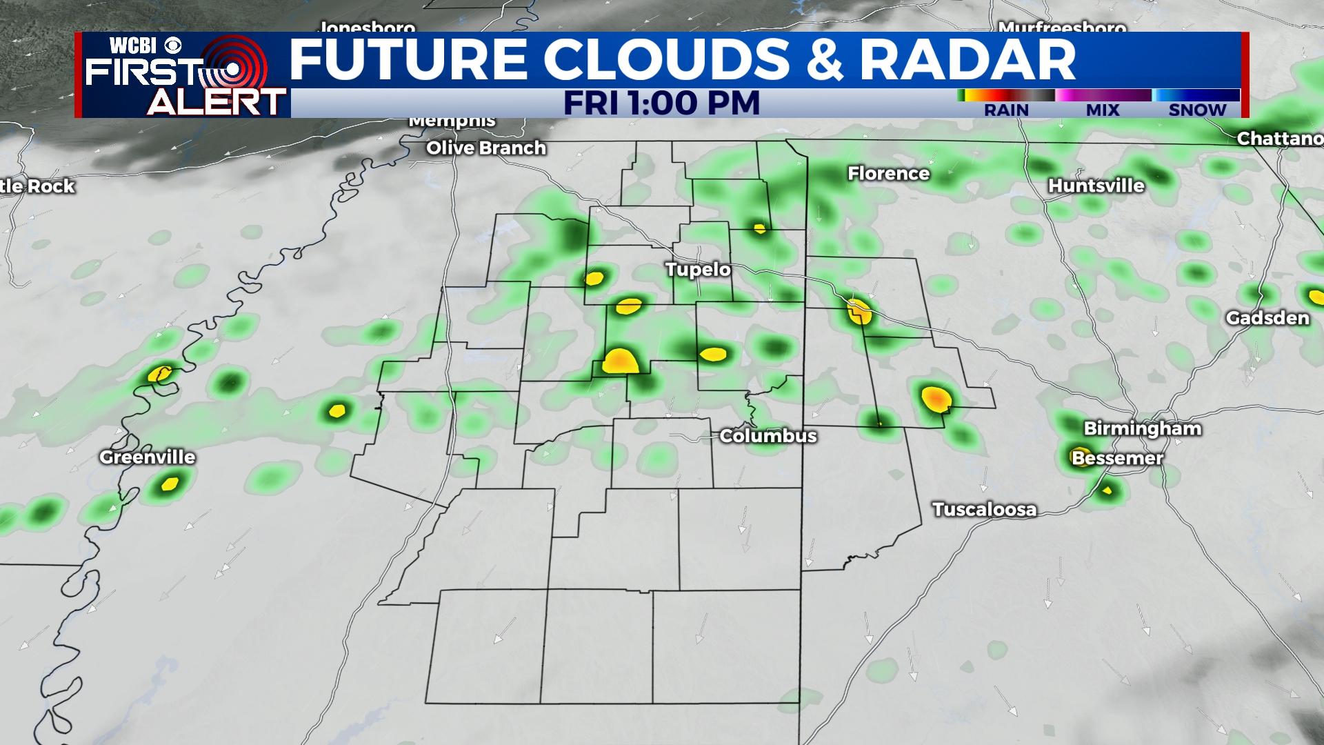
FRIDAY: The hot air is going to be placed on pause. Cooler air will be moving in a only allowing high temperatures to reach the upper 50s. Heavy cloud coverage to an overcast sky will complete the week. There will also be a 60% chance of seeing rain showers and storms throughout the day. Luckily, there is not a severe risk to this event. Temperatures overnight will only fall a few degrees into the middle 50s.
WEEKEND: Warm air will be moving back in for the weekend. High temperatures will return to the 70s. The rain chance will lighten some, but the cloud coverage will stick around. Low temperatures will be in the upper 50s to lower 60s.
NEXT WEEK: Temperatures will remain in the 70s for the most of next week. There is going to be another chance for heavier showers, with potential for storms. Overnight low temperatures will have a wider range, between the upper 40s to lower 60s.


