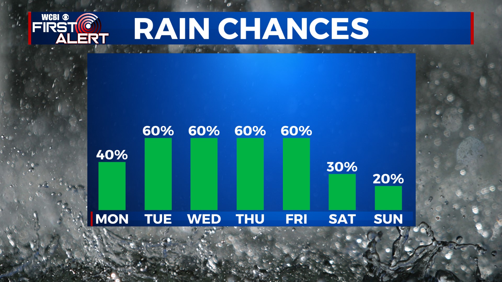
Daily Rain Chances on Week of the 4th
COLUMBUS, Mississippi (WCBI) – A front will slow down and stall over the area this week, bringing lots of moisture and daily rain/storm chances. The good news is that we are getting a break from the extreme heat!
TONIGHT: Mostly cloudy. Temperatures will fall into the low to mid-70s. A shower or thunderstorm is possible overnight. Rain may be heavy at times, but severe weather is not expected. South wind around 5 mph.
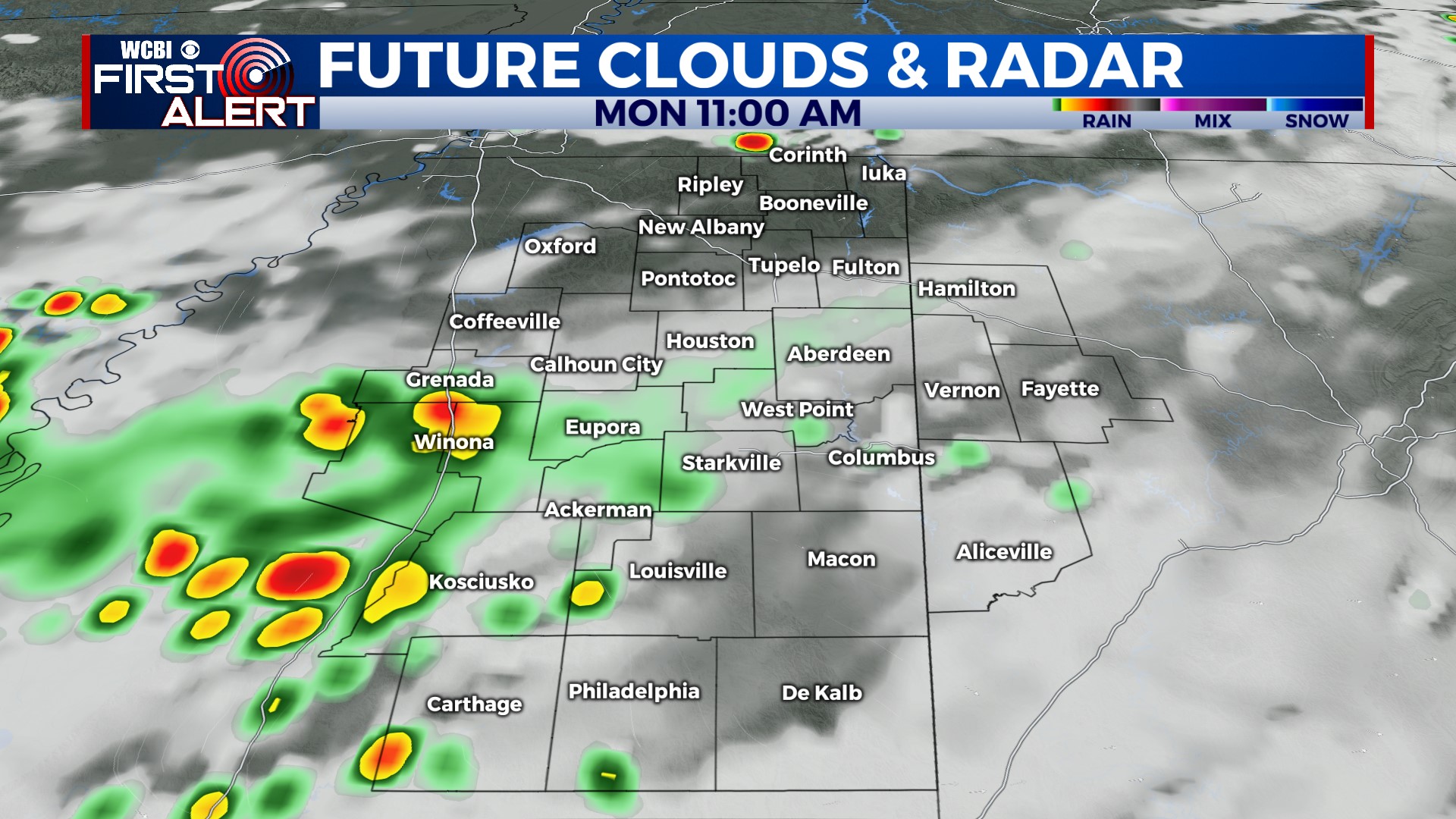
MONDAY: Mostly cloudy, with peeks of sun. A shower or storm is possible in the morning, then another round of showers and storms possible in the afternoon. Some could have frequent lightning, heavy rain, and gusty winds. Temperatures climb into the upper 80s to near 90° after lunchtime. Chance of rain: 40%.
4TH OF JULY: Highs near 90°. We’ll have extra clouds in the area, but there will still be peeks of sun. An occasional shower or storm is possible, but the day won’t be a washout. Just play things by ear and watch the radar if you have outdoor plans. We’re used to this kind of thing in July.
REST OF THE WEEK: Cloud cover and the chance for rain will keep temperatures “cooler” than they have been. We expect highs to be in the upper 80s and low 90s all week. Wednesday, Thursday, and Friday look wet at times, with occasional showers and storms likely. We’ll see more sunshine filter in on Saturday, and rain chances finally begin to decrease by the end of the week on Sunday.