Evening rain chance, early weekend cool down
COLUMBUS, Mississippi (WCBI) – Finishing off the week with scattered showers and possibly a few thunderstorms. Behind the passing front, temperatures will be colder into the weekend.
FRIDAY NIGHT: A strong cold front brings scattered showers through the region with sharply falling temps after 9 PM into the overnight. Rain amounts will vary, but most areas will likely see under one-half inch. Low temperatures will drop into the 30s well after midnight for most, with sub-freezing wind chills likely!
SATURDAY: The cold air, moving in behind the front, will keep temperatures colder for the beginning of the weekend. High temperatures will only reach into the middle 40s. The day will start of with a nearly overcast sky. Gradually throughout the morning and afternoon, the clouds will clear off to the SE. By the evening, the sky should be clear and overnight lows will be below freezing!
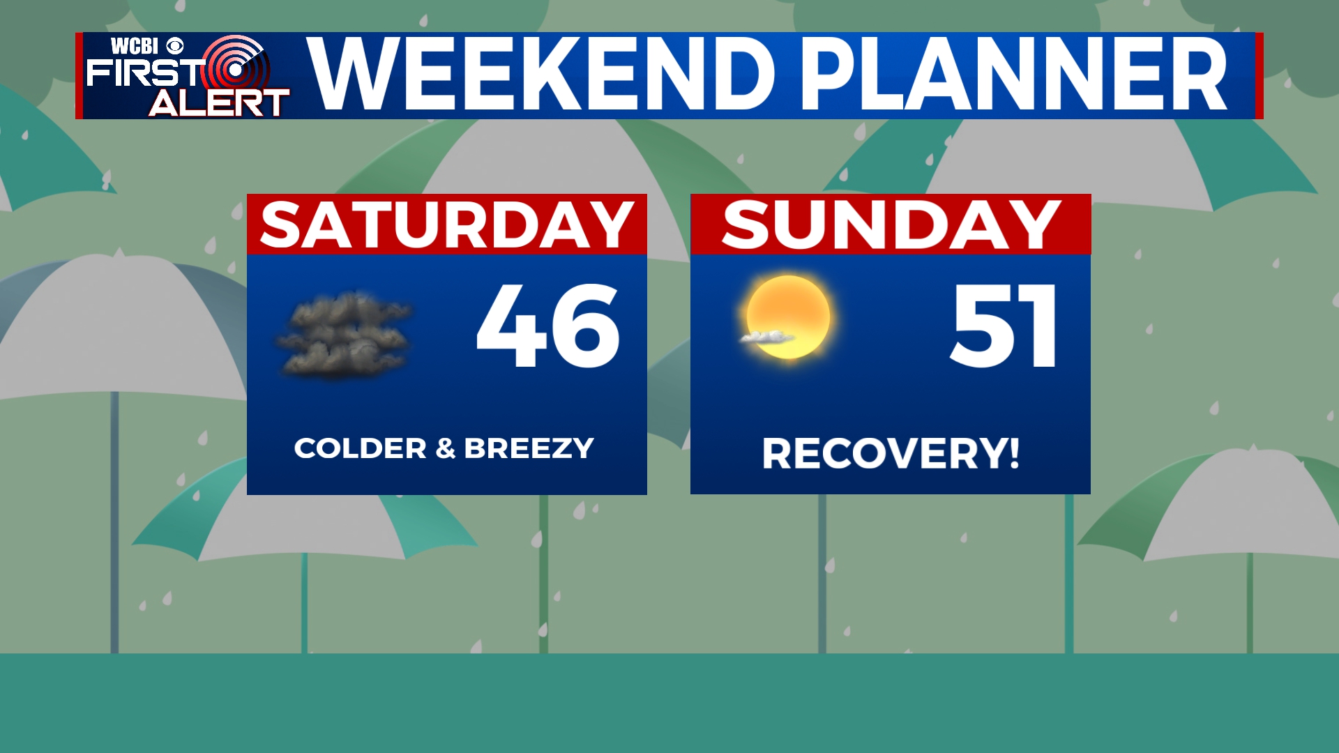
SUNDAY: A clear sky for the second half of the weekend. Temperatures will increase by a few degrees, reaching into the low to middle 50s. With the clearer sky conditions continuing, temperatures towards Monday morning will be back below freezing. Bundle the kids up before sending them off to school!
NEXT WEEK: A gradual increase in temperatures throughout the week. Eventually, our high temps will be back in the lower 70s. There will be another light chance for rain at the end of next week.


