Fall weather on the way!
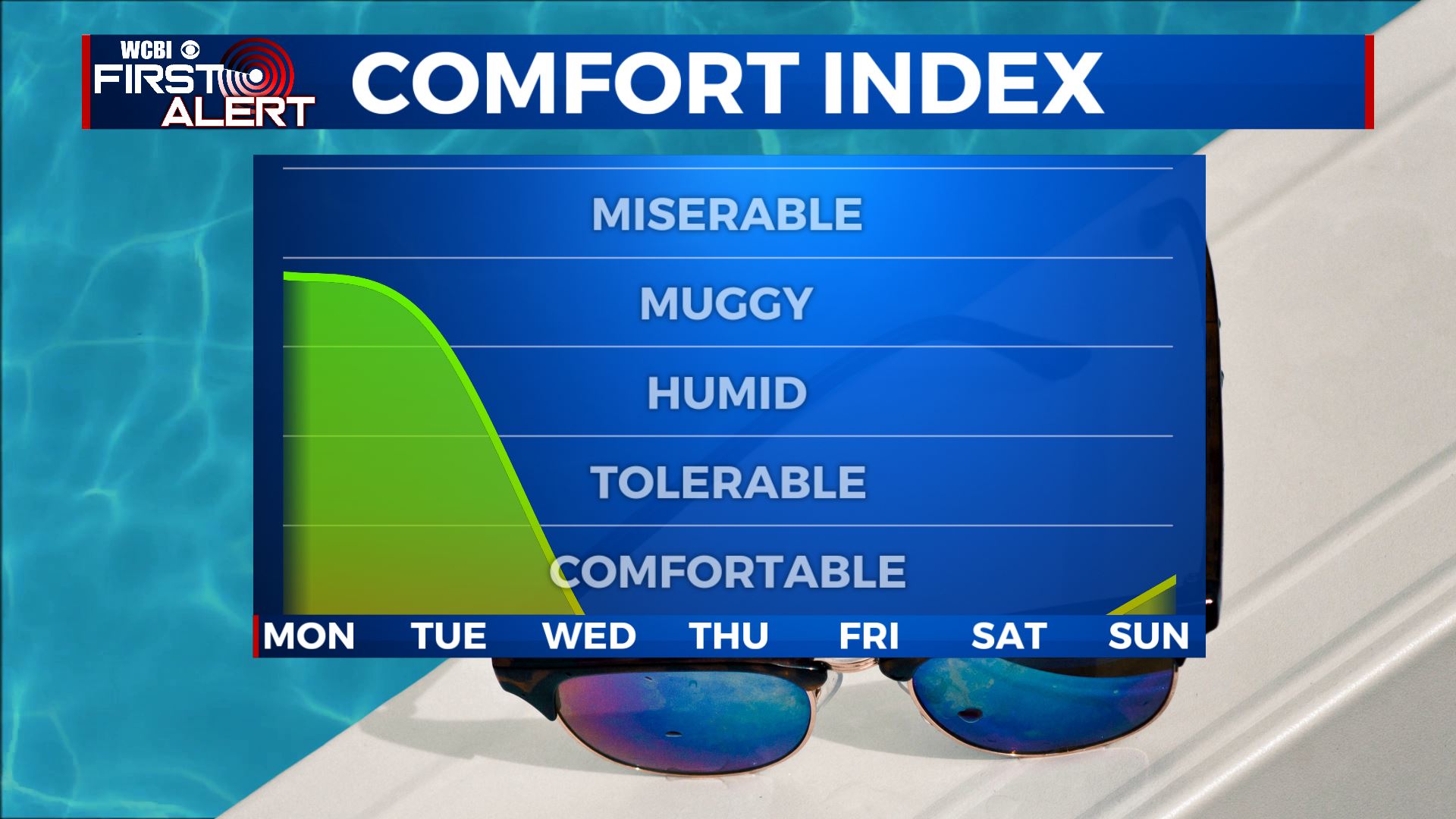
SUMMARY: We just have to get through a couple more humid days with showers and storms, and then some of the nicest weather we’ve seen since the spring will be moving into the area! Highs will be in the 80s Monday and Tuesday, with scattered showers and storms on both days. A front moves through Tuesday night, with increased storm chances for the overnight hours. The front brings in crisp, dry air for the rest of the week and next weekend. Highs drop to the 70s, and lows will fall into the 50s- with 40s possible as well!
SUNDAY NIGHT: Things should be mostly dry Sunday night, but a few isolated showers are possible. Lows in the low 70s with partly to mostly cloudy skies.
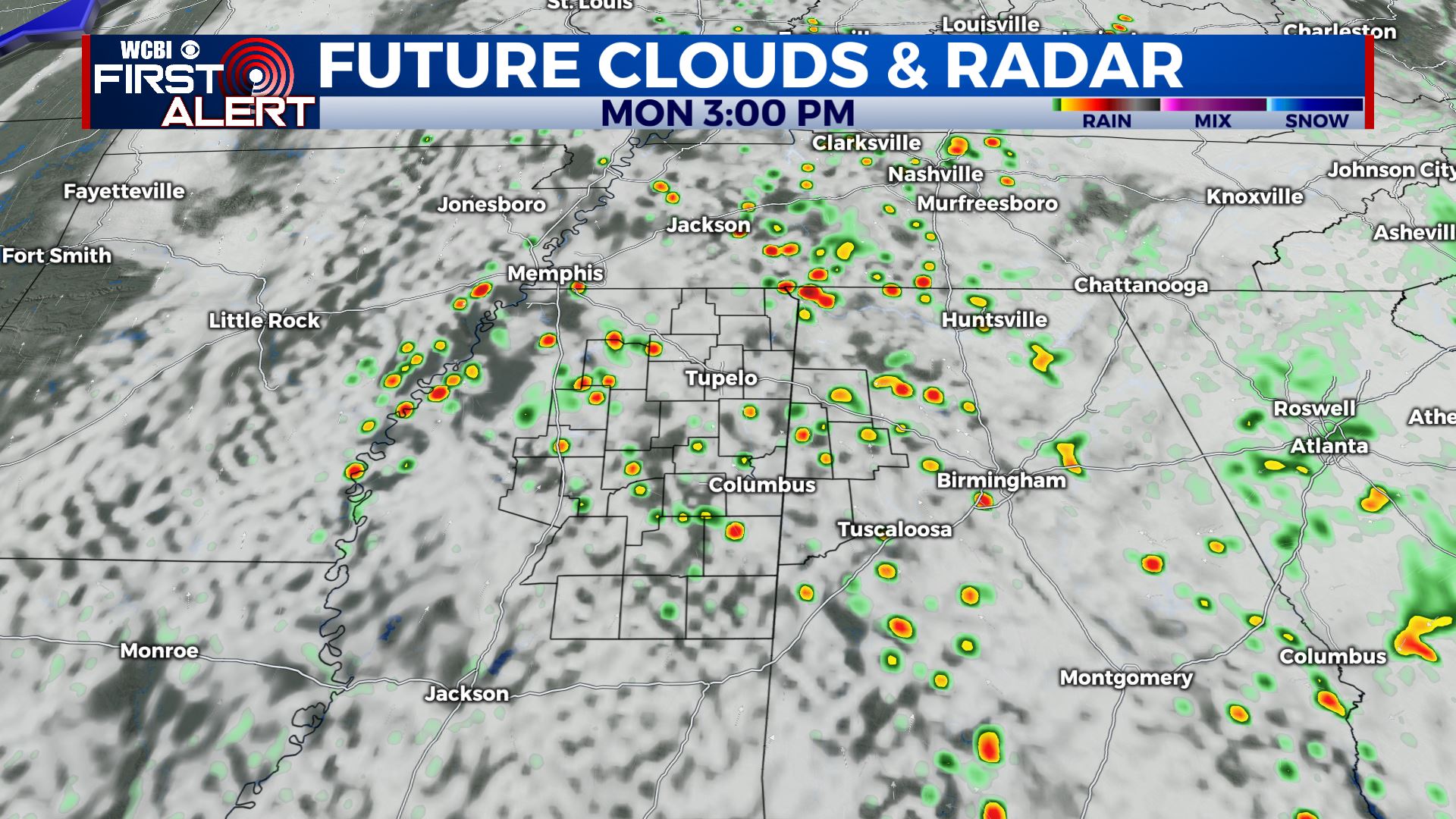
MONDAY: A warm and muggy day to start the work week, with a high in the mid 80s. Scattered showers and storms once again possible in the afternoon, but otherwise expect partly to mostly cloudy skies.
MONDAY NIGHT: A few showers may linger into Monday night, but otherwise it should be fairly dry under mostly cloudy skies. Lows right around 70 degrees.
TUESDAY: One last muggy day, with highs in the mid 80s and showers and storms becoming widespread in the afternoon/evening hours. Skies will be partly to mostly cloudy.
WEDNESDAY TO SUNDAY: After the front pushes through on Tuesday night, the weather will be much cooler for Wednesday. Highs will be in the mid 70s under clearing skies, with dry air filtering in. It’ll feel great! Wednesday night lows drop into the low 50s, and things look even cooler for Thursday- not out of the question for some spots to stay in the 60s all day! Skies will be sunny, with a refreshing breeze from the NW. Lows Thursday night will be the coolest, in the upper 40s to around 50 degrees across the area. We rebound a bit as we head into Friday and the weekend, with dry air staying in place, highs returning to the upper 70s and low 80s, and sunshine sticking around.
CONNECT WITH @WCBIWEATHER ON TWITTER, FACEBOOK, AND INSTAGRAM