First day of fall brings relief by Friday
COLUMBUS, Mississippi (WCBI) – Thursday stays hot in advance of the first of two fronts. Relief arrives by Friday morning, then another front arrives Sunday with even better weather next week!
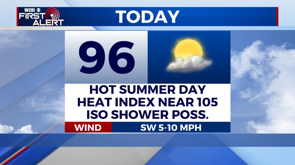
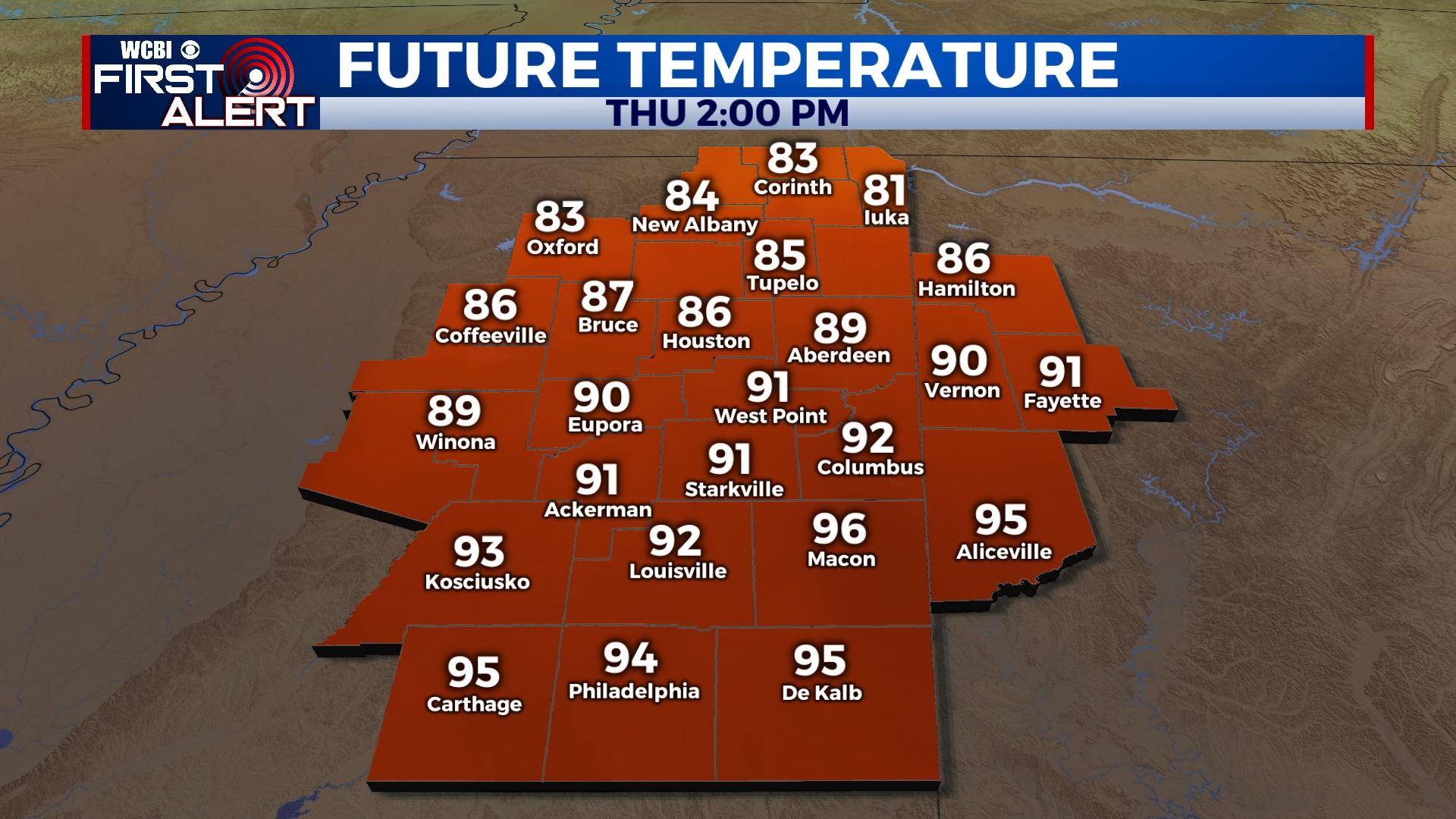
THURSDAY: Expect a mixture of clouds and sun today with highs in the lower 90s for most, becoming slightly cooler in the north this go-round. Once the front passes this afternoon, breezy north winds will pick up and temperatures will slowly begin to fall.
FRIDAY: Most of the region should start out in the upper 50s to lower 60s with scattered clouds. Expect a good supply of sun with highs refreshingly back in the lower 80s. High school football games look fantastic – kickoff temperatures in the low 70s will quickly fall into the 60s.
WEEKEND: The heat comes back somewhat Saturday with highs in the upper 80s to near 90 degrees. Some storms could break out west of the river, but northeast MS should stay dry. Sunday still brings isolated to scattered showers and perhaps a thunderstorm, but rain coverage looks less than impressive at this point.
NEXT WEEK: Behind Sunday’s front, we continue to be set up for a nicer (and longer) stretch of weather. Expect highs in the low 80s and morning lows in the low 50s each day through Wednesday with lots of sun!