Freeze warning extended until Wednesday morning
COLUMBUS, Mississippi (WCBI) – Cold weather continues to highlight the forecast through mid-week. Rain returns late Thursday.
TUESDAY: High pressure brings more sunshine and chilly air to the region as highs stay in the 50s with less gusty wind.
TUESDAY NIGHT: Another freeze warning is on tap for the entire region. Overnight lows will drop into the upper 20s and lower 30s under a mostly clear sky.
WEDNESDAY: After a freezing start, sunshine will continue with highs in the lower 60s by afternoon.
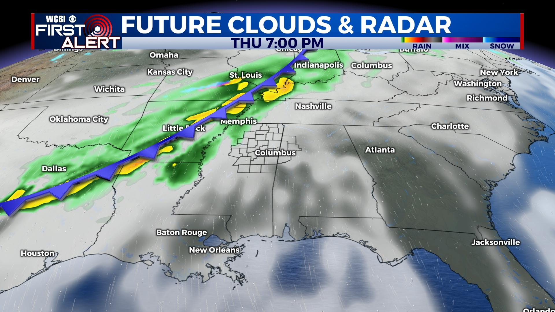
THURSDAY/FRIDAY: A strong Arctic front will bring another round of widespread rain and embedded thunderstorms to the region late Thursday into Friday. Specific timing is still being ironed out, so stay tuned for updates. The good news is severe potential should be muted by limited moisture return ahead of the front. Temperatures will be in the 70s Thursday but will rapidly fall by Friday afternoon & evening back to the 30s and potentially below freezing by Saturday morning.
WEEKEND: Sunshine will return but with more cold air! Highs will hold in the 50s both days with morning lows likely below freezing yet again.


